buses.appNapier & Hastings public transport
Loading 3D view…

Napier & Hastings Guide

Marine Parade

Napier & Hastings

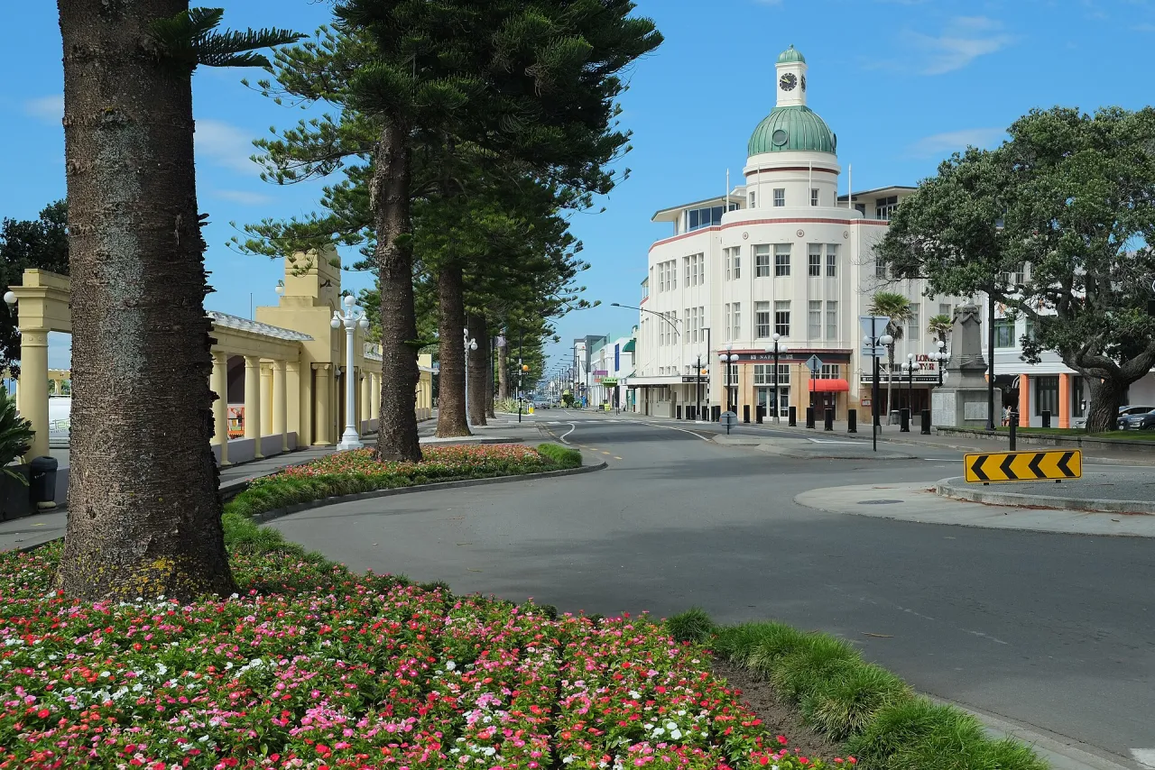
Napier's three-kilometre seafront boulevard on Hawke Bay, lined with Norfolk pines and gardens, with the statue of Pania of the Reef, the Art Deco Sound Shell and the National Aquarium.

How to get there by public transport

Lines stopping nearby

Plan a route to “Marine Parade”

From your location or a typed address — the route is drawn on the 3D map above.

Loading planner…

Marine Parade — Napier & Hastings
Marine Parade · Pseudopanax / Public domain (Wikimedia Commons)

What it is

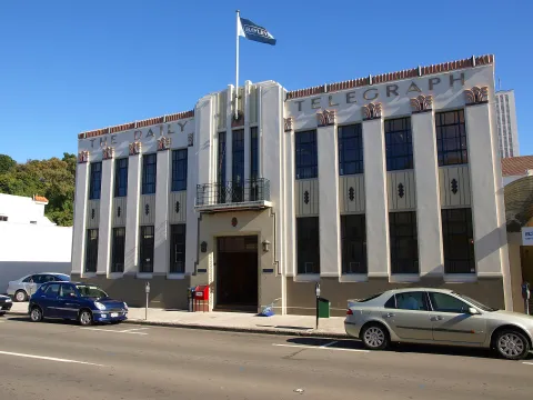
The parade combines road and esplanade along the pebbly foreshore of Hawke Bay. Its Norfolk pines were planted in 1893 behind the sea wall of 1889. After the 1931 Hawke's Bay earthquake, part of the foreshore was built up with rubble from the destroyed town, and the waterfront was rebuilt along with the Art Deco centre behind it.

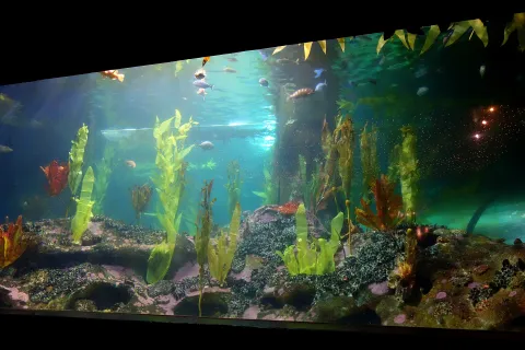
Along its length are sunken gardens, fountains, playgrounds, a bathing pool complex, mini golf and cycle paths. The best-known statue is Pania of the Reef, a figure from local Māori tradition; nearby are the Sound Shell, an open-air stage from the Art Deco years, and the Spirit of Napier fountain. The National Aquarium stands near the southern end, and MTG Hawke's Bay faces the parade further north.

Getting there by bus

Route 11 (Napier, Hastings, Te Mata) stops at 167 Wellesley Road (stop N222), about 280 metres from this stretch of the parade, and on Hastings Street at stops H280 and N241, about 340 to 360 metres away, a walk of four or five minutes.

Route 3 (Napier, Maraenui and Tamatea) stops at 6 and 7 Latham Street (stops N125 and N161), about 350 metres away, and routes 1, 1A, 2 and 3 serve the stops at the Napier Health Centre (stops N6 and N64), about 700 metres inland.
Frequently asked questions

How do I get to Marine Parade by public transport?

The nearest stops are 167 Wellesley Road, Opposite 419 Hastings St, 6 Latham Street. Open any of them to see the lines that stop there, or use the Journey Planner for a route from your location to Marine Parade.

What is the nearest stop to Marine Parade?

167 Wellesley Road (stop code N222), about 280 m from Marine Parade. On the stop page you can see all the lines that stop there and live arrival estimates.

Where is Marine Parade located?

Marine Parade is in Napier & Hastings. You can see its exact location and a 3D view at the top of this page.

How do I get to Marine Parade from another part of the city?

Open the Journey Planner, enter your origin (an address or a stop) and Marine Parade as the destination — you will get the best routes with lines, transfers and departure times based on the timetable.

Other landmarks

Photos: Wikimedia Commons (free/licensed) · 3D view: MapLibre + OpenStreetMap.