
Guide
Ayia Napa & Paralimni Guide
Ayia Napa & Paralimni landmarks in true 3D — and how to reach each by public transport (lines, nearest stops, a planner from your location).
- 8Landmarks
- 4Guides & tips
- Ayia Napa & ParalimniCity
Guides & tips
All guides →Landmarks · 8
 3D BeachNissi BeachAyia Napa’s best-known beach, with white sand, turquoise water and a small islet you can wade to.Open guide
 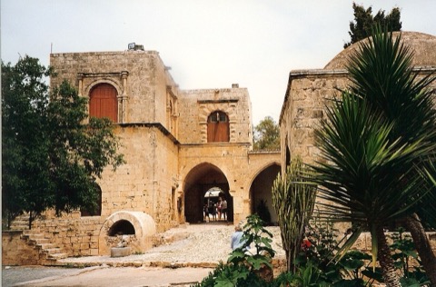 3D Church & monasteryAyia Napa MonasteryA Venetian-era monastery in the centre of Ayia Napa, built around a cave church where an icon of the Virgin was found.Open guide
 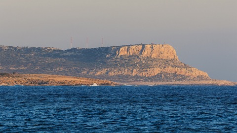 3D NatureCape GrecoThe rocky headland at the south-eastern tip of Cyprus, a protected national forest park with sea caves and clear water.Open guide
 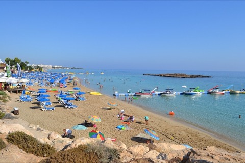 3D BeachFig Tree BayThe most famous beach of Protaras, a sandy bay with shallow water and a small islet offshore.Open guide
 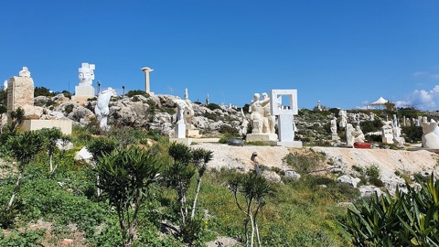 3D ParkAyia Napa Sculpture ParkAn open-air park by the sea east of the centre, with works by sculptors from many countries.Open guide
 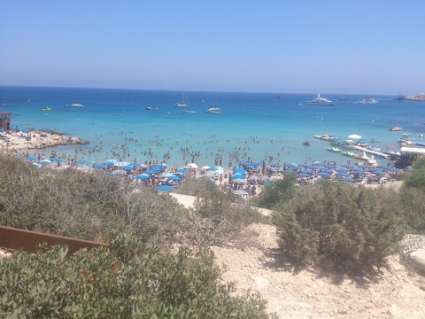 3D BeachKonnos BayA small sheltered cove between Cape Greco and Protaras, with turquoise water framed by pine-covered cliffs.Open guide
 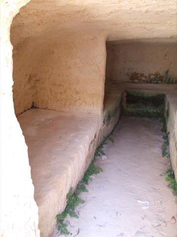 3D HistoryMakronissos TombsA cluster of rock-cut burial chambers from the Hellenistic and Roman periods on the coast west of Ayia Napa.Open guide
 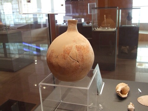 3D MuseumThalassa Municipal MuseumA museum of the sea in the centre of Ayia Napa, dedicated to the maritime history of Cyprus.Open guide
 Frequently asked questions
How do I reach Ayia Napa & Paralimni’s landmarks by public transport?
Open any landmark from the guide — its page shows the nearest stops and a planner that finds a route from your location to it, with lines, transfers and departure times based on the timetable.
Which landmarks does the guide cover?
Ayia Napa & Paralimni’s best-known landmarks — Nissi Beach, Ayia Napa Monastery, Cape Greco, Fig Tree Bay, Ayia Napa Sculpture Park — each with a 3D view of the location and directions on how to get there by public transport.
What is the 3D view of a landmark?
An interactive 3D model of the location (buildings and surroundings from OpenStreetMap data) that rotates and tilts. It is not a photo but a graphical view of the place, so you can recognise the area before you set off.
How do I plan a tour of several landmarks?
Use the Journey Planner for a public transport route to each landmark; every landmark page also lists the nearest stops with arrival estimates, so you can easily chain several points into one tour.
Photos: Wikimedia Commons (free/licensed) · 3D view: MapLibre + OpenStreetMap.