
Guide
Dunedin Guide
Dunedin landmarks in true 3D — and how to reach each by public transport (lines, nearest stops, a planner from your location).
- 7Landmarks
- 5Guides & tips
- DunedinCity
Guides & tips
All guides →Landmarks · 7
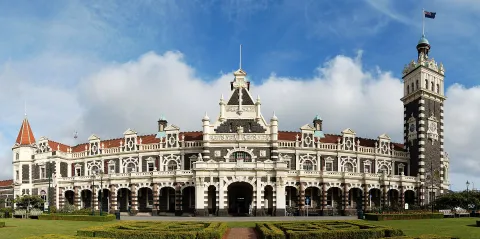 3D HistoryDunedin Railway StationAn ornate Flemish Renaissance station of dark basalt and white Oamaru stone, opened in 1906 and now the departure point for heritage train excursions and home to a Saturday farmers market.Open guide
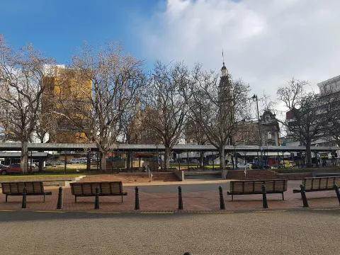 3D SquareThe OctagonThe eight-sided plaza at the centre of Dunedin, laid out in Charles Kettle's 1846 town plan and surrounded by the Municipal Chambers, St Paul's Cathedral, the Regent Theatre and the public art gallery.Open guide
 3D Church & monasteryFirst Church of OtagoDunedin's principal Presbyterian church, a Gothic Revival building of white Oamaru stone designed by Robert Lawson and opened in 1873, with a 56-metre spire rising above Moray Place.Open guide
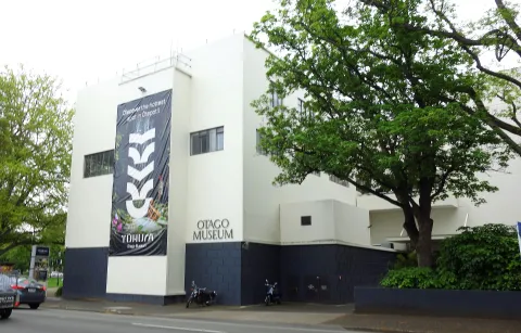 3D MuseumTūhura Otago MuseumOne of New Zealand's oldest museums, open since 1868 and housed since 1877 beside the University of Otago, with natural history, Māori and Pacific collections, a science centre and a tropical butterfly forest.Open guide
 3D MuseumToitū Otago Settlers MuseumDunedin's social history museum, founded in 1898 and reopened under its present name in 2012, telling the story of the region from Māori settlement to the present day, next to the railway station.Open guide
 3D LandmarkBaldwin StreetA short residential street in North East Valley, about 3.5 km from central Dunedin, recognised by Guinness World Records as the steepest street in the world.Open guide
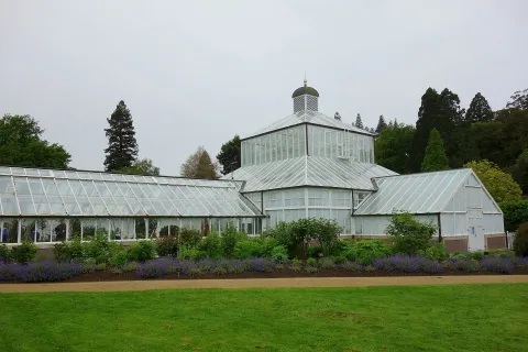 3D ParkDunedin Botanic GardenNew Zealand's oldest botanic garden, founded in 1863 and covering about 28 hectares of Dunedin's Town Belt, with an Edwardian Winter Garden glasshouse, a rhododendron dell and an aviary.Open guide
Frequently asked questions
How do I reach Dunedin’s landmarks by public transport?
Open any landmark from the guide — its page shows the nearest stops and a planner that finds a route from your location to it, with lines, transfers and departure times based on the timetable.
Which landmarks does the guide cover?
Dunedin’s best-known landmarks — Dunedin Railway Station, The Octagon, First Church of Otago, Tūhura Otago Museum, Toitū Otago Settlers Museum — each with a 3D view of the location and directions on how to get there by public transport.
What is the 3D view of a landmark?
An interactive 3D model of the location (buildings and surroundings from OpenStreetMap data) that rotates and tilts. It is not a photo but a graphical view of the place, so you can recognise the area before you set off.
How do I plan a tour of several landmarks?
Use the Journey Planner for a public transport route to each landmark; every landmark page also lists the nearest stops with arrival estimates, so you can easily chain several points into one tour.
Photos: Wikimedia Commons (free/licensed) · 3D view: MapLibre + OpenStreetMap.