buses.appBundaberg public transport
Loading 3D view…

Bundaberg Guide

Bourbong Street

Bundaberg

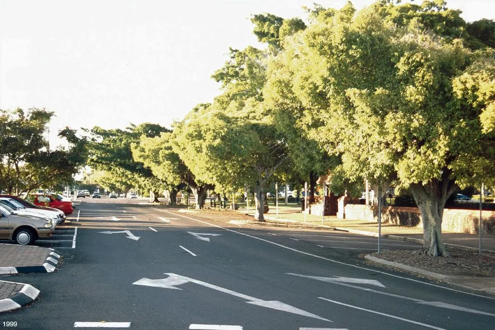
Bundaberg’s main street, with a row of heritage buildings such as the Post Office and the School of Arts and a canopy of old weeping fig trees.

How to get there by public transport

Plan a route to “Bourbong Street”

From your location or a typed address — the route is drawn on the 3D map above.

Loading planner…

Bourbong Street — Bundaberg
Bourbong Street · Heritage branch staff / CC BY 3.0 (Wikimedia Commons)

What it is

Bourbong Street grew up as the commercial centre of a sugar town in the late 19th century. Its landmark is the Bundaberg Post Office with its clock tower, and nearby stand the School of Arts and several former bank buildings, many of them listed on the Queensland Heritage Register. The weeping figs planted along the street are themselves heritage-listed.

Buss Park, on the street, has a memorial to the aviator Bert Hinkler. The Burnett River is a block to the north.

Getting there by bus

The main city stops are on Woongarra Street, one block south: Woongarra St at Library and Woongarra St at Holy Rosary Church are both within about three minutes and are served by routes 600, 602, 603, 606, 608, 609, 621 and 622, with 601, 604, 605 and 607 also at Holy Rosary Church.

Route 607 additionally has a hail ’n’ ride section on Quay St near Targo St, close to the riverside end.
Frequently asked questions

How do I get to Bourbong Street by public transport?

The nearest stops are Quay St near Targo St hail 'n' ride, Woongarra St at Library, Woongarra St at Holy Rosary Church. Open any of them to see the lines that stop there, or use the Journey Planner for a route from your location to Bourbong Street.

What is the nearest stop to Bourbong Street?

Quay St near Targo St hail 'n' ride (stop code 730191), about 150 m from Bourbong Street. On the stop page you can see all the lines that stop there and live arrival estimates.

Where is Bourbong Street located?

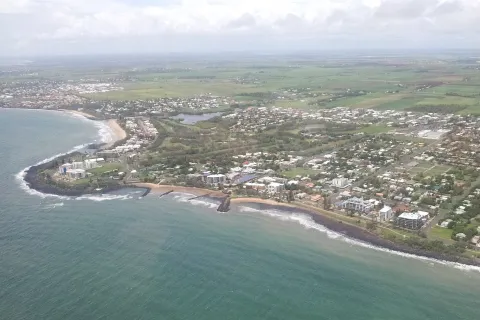
Bourbong Street is in Bundaberg. You can see its exact location and a 3D view at the top of this page.

How do I get to Bourbong Street from another part of the city?

Open the Journey Planner, enter your origin (an address or a stop) and Bourbong Street as the destination — you will get the best routes with lines, transfers and departure times based on the timetable.

Other landmarks

Photos: Wikimedia Commons (free/licensed) · 3D view: MapLibre + OpenStreetMap.