buses.appTownsville public transport
Loading 3D view…

Townsville Guide

The Strand

Townsville

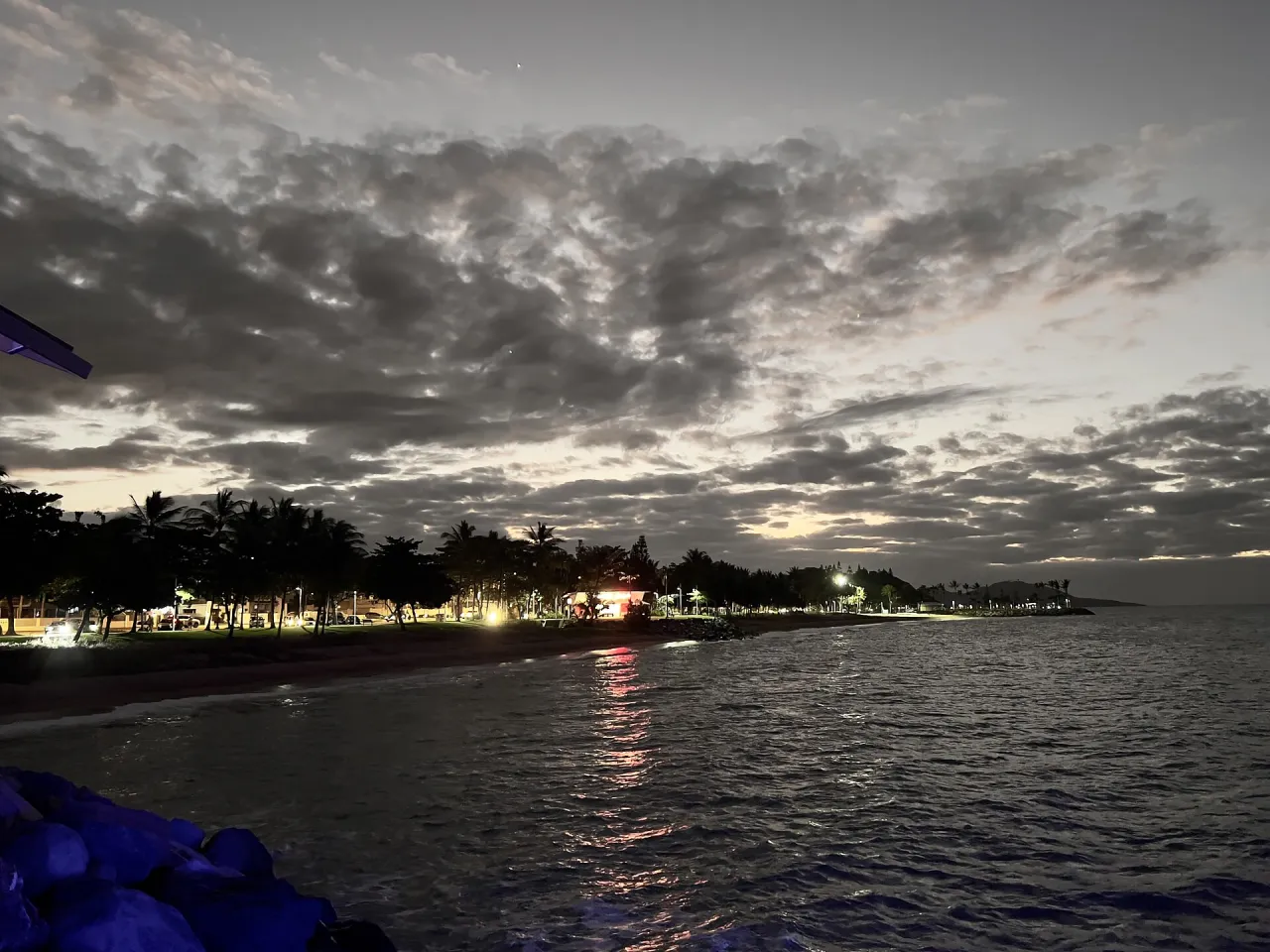
Townsville’s 2.2-kilometre beachfront, a palm-lined promenade with beaches, a rock pool, a water park and a pier looking across Cleveland Bay to Magnetic Island.

How to get there by public transport

Lines stopping nearby

Plan a route to “The Strand”

From your location or a typed address — the route is drawn on the 3D map above.

Loading planner…

The Strand — Townsville
The Strand · Kgbo / CC BY-SA 4.0 (Wikimedia Commons)

What it is

The Strand was rebuilt as a continuous parkland after Cyclone Tessi damaged the foreshore in 2000. Today a shared path runs its full length between Kissing Point and the city end, past several small beaches, picnic shelters, playgrounds and cafés.

At the northern end the Rockpool offers sheltered swimming, and the pier is a favourite fishing and sunset spot. In the warmer months stinger enclosures are set up on the beach; swim only in patrolled, marked areas.

Getting there by bus

Route 206 runs closest to the beach, with stops such as Eyre St at Stuart Street and The Strand at Gregory Street. Routes 205, 215 and 222 use Warburton Street, a few blocks inland – Warburton Street at Burke Street is about five to seven minutes from the water.

All of these routes also serve the Townsville City bus hub in the centre.

Frequently asked questions

How do I get to The Strand by public transport?

The nearest stops are Eyre St at Stuart Street, Warburton Street at Burke Street, Warburton St at Burke Street. Open any of them to see the lines that stop there, or use the Journey Planner for a route from your location to The Strand.

What is the nearest stop to The Strand?

Eyre St at Stuart Street (stop code 890192), about 300 m from The Strand. On the stop page you can see all the lines that stop there and live arrival estimates.

Where is The Strand located?

The Strand is in Townsville. You can see its exact location and a 3D view at the top of this page.

How do I get to The Strand from another part of the city?

Open the Journey Planner, enter your origin (an address or a stop) and The Strand as the destination — you will get the best routes with lines, transfers and departure times based on the timetable.

Other landmarks

Photos: Wikimedia Commons (free/licensed) · 3D view: MapLibre + OpenStreetMap.