
Guide
Queenstown Guide
Queenstown landmarks in true 3D — and how to reach each by public transport (lines, nearest stops, a planner from your location).
- 7Landmarks
- 5Guides & tips
- QueenstownCity
Guides & tips
All guides →Landmarks · 7
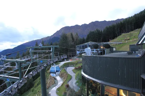 3D NatureSkyline QueenstownA gondola running from Brecon Street up Bob's Peak to a summit complex about 450 metres above Lake Wakatipu, with views over Queenstown, the lake and The Remarkables, a restaurant and a luge.Open guide
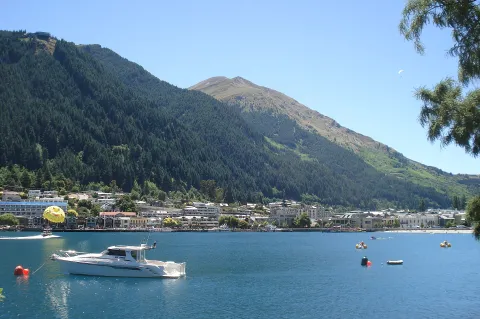 3D BeachQueenstown BayThe small bay of Lake Wakatipu on which Queenstown's waterfront is built, with a town beach, Steamer Wharf and views across the lake to Cecil Peak, Walter Peak and The Remarkables.Open guide
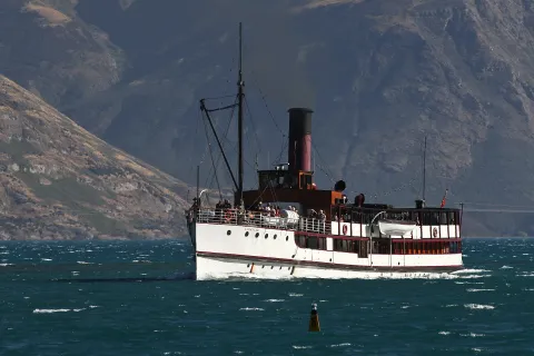 3D HistoryTSS EarnslawA coal-fired twin-screw steamship launched in 1912, still sailing on Lake Wakatipu from Steamer Wharf in Queenstown to Walter Peak High Country Farm.Open guide
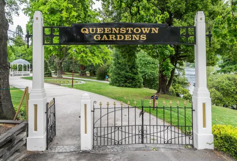 3D ParkQueenstown GardensA 15-hectare park on the peninsula between Queenstown Bay and the Frankton Arm, opened in 1867, with lakeside paths, a rose garden, a disc golf course and memorials to Robert Falcon Scott and William Rees.Open guide
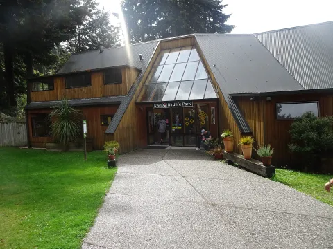 3D ParkKiwi Park QueenstownA family-run wildlife park at the foot of Bob's Peak, next to the gondola base, opened in 1986 on a former rubbish tip and home to kiwi and more than 20 other native species.Open guide
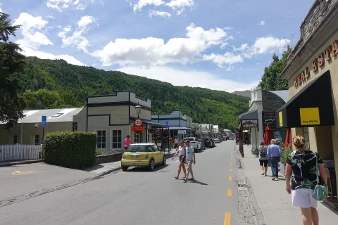 3D HistoryArrowtownA former gold-mining town on the Arrow River, about 20 km north-east of Queenstown, with a main street of restored 19th-century buildings, a Chinese miners' settlement and tree-lined avenues known for their autumn colours.Open guide
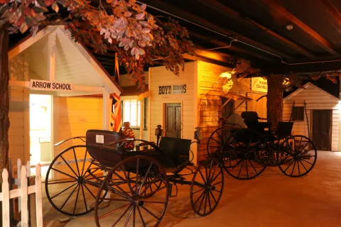 3D MuseumLakes District MuseumThe local history museum on Buckingham Street in Arrowtown, housed in historic buildings including the former Bank of New Zealand, covering the gold rush, Chinese miners and early settlers of the Wakatipu district.Open guide
Frequently asked questions
How do I reach Queenstown’s landmarks by public transport?
Open any landmark from the guide — its page shows the nearest stops and a planner that finds a route from your location to it, with lines, transfers and departure times based on the timetable.
Which landmarks does the guide cover?
Queenstown’s best-known landmarks — Skyline Queenstown, Queenstown Bay, TSS Earnslaw, Queenstown Gardens, Kiwi Park Queenstown — each with a 3D view of the location and directions on how to get there by public transport.
What is the 3D view of a landmark?
An interactive 3D model of the location (buildings and surroundings from OpenStreetMap data) that rotates and tilts. It is not a photo but a graphical view of the place, so you can recognise the area before you set off.
How do I plan a tour of several landmarks?
Use the Journey Planner for a public transport route to each landmark; every landmark page also lists the nearest stops with arrival estimates, so you can easily chain several points into one tour.
Photos: Wikimedia Commons (free/licensed) · 3D view: MapLibre + OpenStreetMap.