buses.appFeldkirch public transport
Loading 3D view…

Feldkirch Guide

Johanniterkirche & Marktgasse

Feldkirch

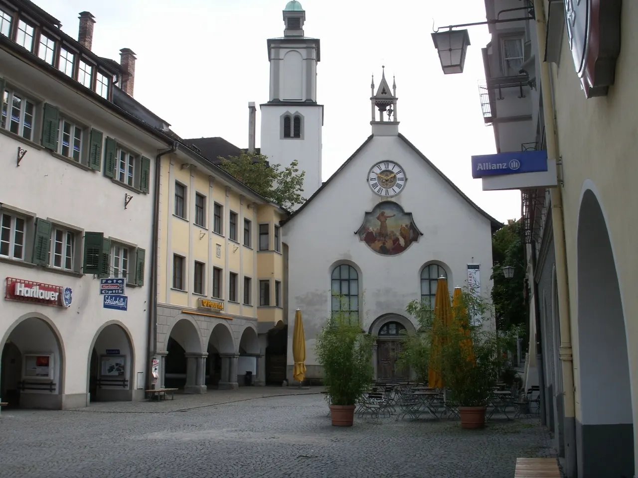
A Gothic church founded for the Knights of St. John in the 13th century, now an exhibition space, at the end of Feldkirch's arcaded main street, the Marktgasse.

How to get there by public transport

Lines stopping nearby

Plan a route to “Johanniterkirche & Marktgasse”

From your location or a typed address — the route is drawn on the 3D map above.

Loading planner…

Johanniterkirche & Marktgasse — Feldkirch
Johanniterkirche & Marktgasse · Welleschik / CC BY-SA 3.0 (Wikimedia Commons)

What it is

Count Hugo I of Montfort gave the Knights Hospitaller a church and hospice here in 1218, and the present building dates from the Gothic period. After the order left, the church had various uses; today it is a venue for contemporary art exhibitions and events.

It stands at the western end of the Marktgasse, the long main street of the old town, lined with arcades, painted facades and oriel windows. A market is held here twice a week.

Getting there by bus

Lines 403 and 406 stop at Elisabethplatz, about 120 metres from the church, and at Montforthaus. Busplatz and Katzenturm, served by all lines, are about five minutes' walk away through the old town.

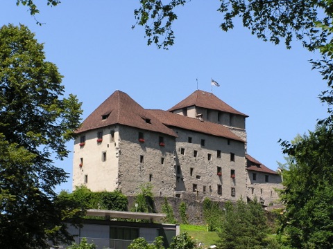
The Montforthaus cultural centre is next to the church, and the Schattenburg is directly above.
Frequently asked questions

How do I get to Johanniterkirche & Marktgasse by public transport?

The nearest stops are Feldkirch Elisabethplatz, Feldkirch Montforthaus, Feldkirch Domplatz. Open any of them to see the lines that stop there, or use the Journey Planner for a route from your location to Johanniterkirche & Marktgasse.

What is the nearest stop to Johanniterkirche & Marktgasse?

Feldkirch Elisabethplatz (stop code 48_903_1), about 120 m from Johanniterkirche & Marktgasse. On the stop page you can see all the lines that stop there and live arrival estimates.

Where is Johanniterkirche & Marktgasse located?

Johanniterkirche & Marktgasse is in Feldkirch. You can see its exact location and a 3D view at the top of this page.

How do I get to Johanniterkirche & Marktgasse from another part of the city?

Open the Journey Planner, enter your origin (an address or a stop) and Johanniterkirche & Marktgasse as the destination — you will get the best routes with lines, transfers and departure times based on the timetable.

Other landmarks

Photos: Wikimedia Commons (free/licensed) · 3D view: MapLibre + OpenStreetMap.