buses.appLeoben public transport
Loading 3D view…

Leoben Guide

Schwammerlturm

Leoben

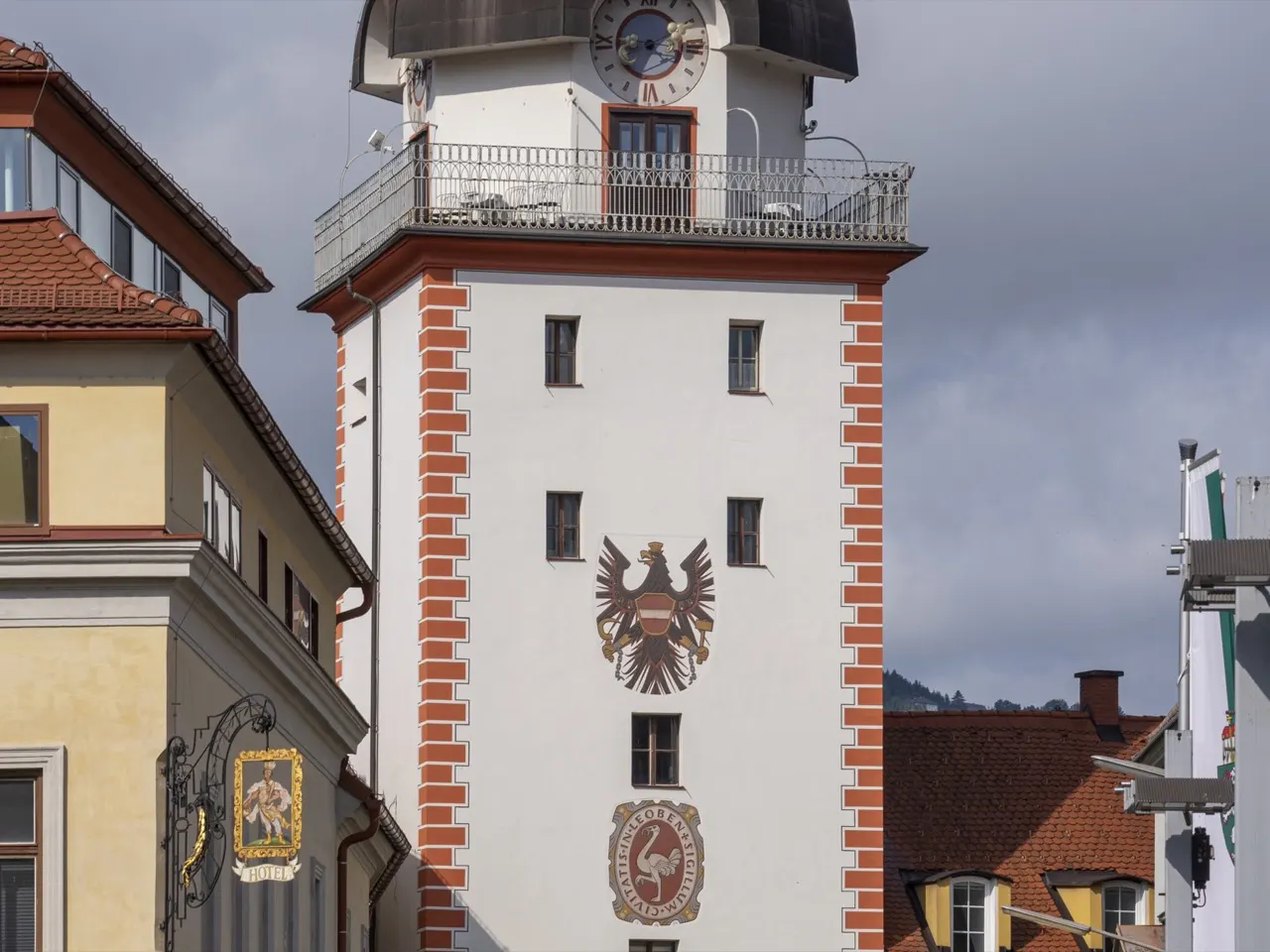
Leoben's landmark gate tower of 1615 by the Mur bridge, named 'the little mushroom tower' after its distinctive mushroom-shaped roof.

How to get there by public transport

Lines stopping nearby

Plan a route to “Schwammerlturm”

From your location or a typed address — the route is drawn on the 3D map above.

Loading planner…

Schwammerlturm — Leoben
Schwammerlturm · Thomas Ledl / CC BY-SA 4.0 (Wikimedia Commons)

What it is

The tower guarded the bridge over the Mur and the entrance to the walled town, and was given its present form in 1615. Its bulbous roof, which the locals compare to a mushroom (Schwammerl), makes it the most recognisable building in Leoben and the symbol of the town. The passage through its base is still used by pedestrians.

From the riverbank beside the tower there is a view of the Mur and the old town houses along the water.

Getting there by bus

Lines 1, 2 and 4 stop at Waasenbrücke, about 120 metres from the tower, and the Leoben Zentrum stop is a few minutes' walk away. The railway station is on the other side of the river.

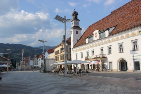
The Hauptplatz is a short walk west through the old town.
Frequently asked questions

How do I get to Schwammerlturm by public transport?

The nearest stops are Leoben Waasenbrücke, Leoben Zentrum, Leoben Langgasse. Open any of them to see the lines that stop there, or use the Journey Planner for a route from your location to Schwammerlturm.

What is the nearest stop to Schwammerlturm?

Leoben Waasenbrücke (stop code 46_6231_1), about 120 m from Schwammerlturm. On the stop page you can see all the lines that stop there and live arrival estimates.

Where is Schwammerlturm located?

Schwammerlturm is in Leoben. You can see its exact location and a 3D view at the top of this page.

How do I get to Schwammerlturm from another part of the city?

Open the Journey Planner, enter your origin (an address or a stop) and Schwammerlturm as the destination — you will get the best routes with lines, transfers and departure times based on the timetable.

Other landmarks

Photos: Wikimedia Commons (free/licensed) · 3D view: MapLibre + OpenStreetMap.