buses.appWels public transport
Loading 3D view…

Wels Guide

Ledererturm (Tanners' Tower)

Wels

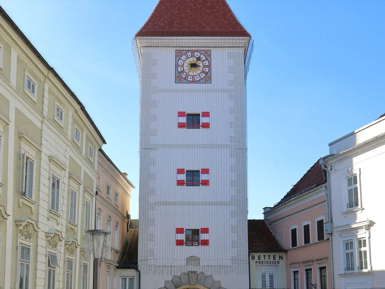
The only surviving gate tower of Wels's medieval town walls, standing at the western end of the Stadtplatz with its clock and baroque cap.

How to get there by public transport

Lines stopping nearby

Plan a route to “Ledererturm (Tanners' Tower)”

From your location or a typed address — the route is drawn on the 3D map above.

Loading planner…

Ledererturm (Tanners' Tower) — Wels
Ledererturm (Tanners' Tower) · C.Stadler/Bwag / CC BY-SA 4.0 (Wikimedia Commons)

What it is

The tower was first built in 1376 and got its present appearance when it was remodelled in 1618. It takes its name from the tanners (Lederer) who worked in the quarter outside the gate, near the water. The passage through the tower is still the western entrance to the Stadtplatz, and the facade carries the coats of arms of the town and the province.

It is the most photographed view in Wels, especially from the square looking west.

Getting there by bus

City bus 15 stops at Pollheimerstraße, about 90 metres from the tower. The Kaiser-Josef-Platz bus terminal, where the city lines meet, is about ten minutes' walk away.

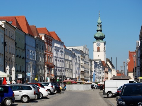
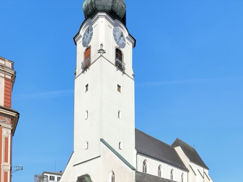
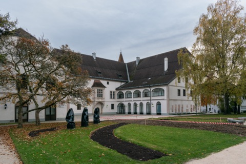
The Burg and the parish church are both within five minutes' walk along the Stadtplatz.
Frequently asked questions

How do I get to Ledererturm (Tanners' Tower) by public transport?

The nearest stops are Wels Pollheimerstraße, Wels Volksgartenstraße, Wels Landesgericht. Open any of them to see the lines that stop there, or use the Journey Planner for a route from your location to Ledererturm (Tanners' Tower).

What is the nearest stop to Ledererturm (Tanners' Tower)?

Wels Pollheimerstraße (stop code 44_42177_1), about 90 m from Ledererturm (Tanners' Tower). On the stop page you can see all the lines that stop there and live arrival estimates.

Where is Ledererturm (Tanners' Tower) located?

Ledererturm (Tanners' Tower) is in Wels. You can see its exact location and a 3D view at the top of this page.

How do I get to Ledererturm (Tanners' Tower) from another part of the city?

Open the Journey Planner, enter your origin (an address or a stop) and Ledererturm (Tanners' Tower) as the destination — you will get the best routes with lines, transfers and departure times based on the timetable.

Other landmarks

Photos: Wikimedia Commons (free/licensed) · 3D view: MapLibre + OpenStreetMap.