
Guide
Mackay Guide
Mackay landmarks in true 3D — and how to reach each by public transport (lines, nearest stops, a planner from your location).
- 4Landmarks
- 5Guides & tips
- MackayCity
Guides & tips
All guides →Landmarks · 4
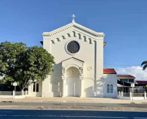 3D Church & monasteryHoly Trinity ChurchMackay’s heritage-listed Anglican parish church, a landmark of the compact city centre close to the Pioneer River.Open guide
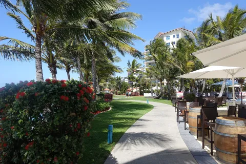 3D LandmarkMackay MarinaThe marina village at Mackay Harbour, north of the city, with restaurants, a waterfront promenade and walks along the breakwater.Open guide
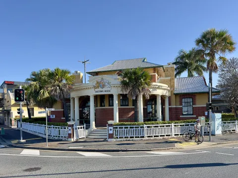 3D HistoryBluewater Quay and Customs HouseMackay’s riverfront along the Pioneer River on River Street, with the heritage-listed Customs House, landscaped promenades and the free Bluewater Lagoon pools nearby.Open guide
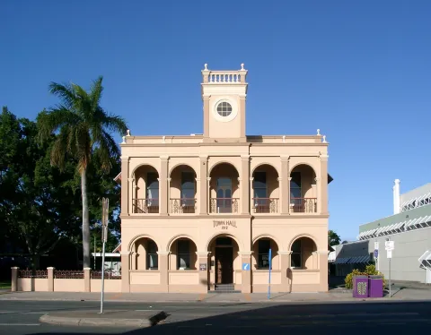 3D HistoryOld Mackay Town HallThe former town hall on Sydney Street, a heritage building at the heart of central Mackay, a city known for its many Art Deco façades.Open guide
Frequently asked questions
How do I reach Mackay’s landmarks by public transport?
Open any landmark from the guide — its page shows the nearest stops and a planner that finds a route from your location to it, with lines, transfers and departure times based on the timetable.
Which landmarks does the guide cover?
Mackay’s best-known landmarks — Holy Trinity Church, Mackay Marina, Bluewater Quay and Customs House, Old Mackay Town Hall — each with a 3D view of the location and directions on how to get there by public transport.
What is the 3D view of a landmark?
An interactive 3D model of the location (buildings and surroundings from OpenStreetMap data) that rotates and tilts. It is not a photo but a graphical view of the place, so you can recognise the area before you set off.
How do I plan a tour of several landmarks?
Use the Journey Planner for a public transport route to each landmark; every landmark page also lists the nearest stops with arrival estimates, so you can easily chain several points into one tour.
Photos: Wikimedia Commons (free/licensed) · 3D view: MapLibre + OpenStreetMap.