buses.appNewcastle public transport
Loading 3D view…

Newcastle Guide

Fort Scratchley

Newcastle

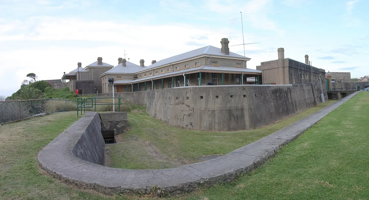
A nineteenth-century coastal fort on Flagstaff Hill at the mouth of the Hunter River, overlooking the harbour entrance and Nobbys Head.

How to get there by public transport

Lines stopping nearby

Plan a route to “Fort Scratchley”

From your location or a typed address — the route is drawn on the 3D map above.

Loading planner…

Fort Scratchley — Newcastle
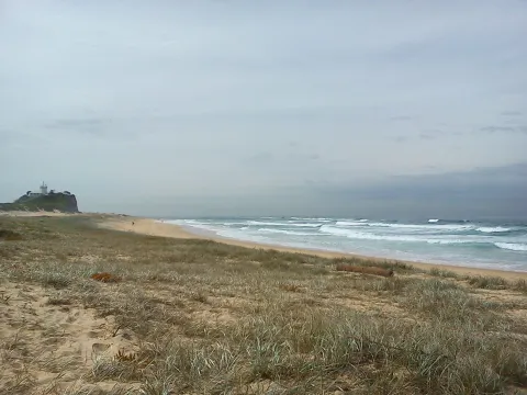
Fort Scratchley · Adam.J.W.C. / CC BY-SA 2.5 (Wikimedia Commons)

What it is

The fort was built in the 1880s to protect the port, then one of the busiest coal harbours in the colonies, and was named after the military engineer Peter Scratchley. In June 1942 its guns returned fire at a Japanese submarine that shelled Newcastle, making it one of the very few Australian forts to fire on an enemy vessel.

Today it is a historic site with gun emplacements, barracks and an underground network of tunnels, which can be visited on guided tours. The hilltop gives wide views over the harbour, the beaches and the city.

Getting there by bus

Route 23, which runs to Newcastle East via Newcastle Interchange, stops at Parnell Pl opp Alfred St, just below the fort, and at Scott St after Zara St.

Routes 11, 13, 14 and 21 stop on Watt Street at Customs House, about a seven-minute walk to the west.
Frequently asked questions

How do I get to Fort Scratchley by public transport?

The nearest stops are Parnell Pl opp Alfred St, Scott St after Zara St, Nobbys Rd before Wharf Rd. Open any of them to see the lines that stop there, or use the Journey Planner for a route from your location to Fort Scratchley.

What is the nearest stop to Fort Scratchley?

Parnell Pl opp Alfred St (stop code 230043), about 50 m from Fort Scratchley. On the stop page you can see all the lines that stop there and live arrival estimates.

Where is Fort Scratchley located?

Fort Scratchley is in Newcastle. You can see its exact location and a 3D view at the top of this page.

How do I get to Fort Scratchley from another part of the city?

Open the Journey Planner, enter your origin (an address or a stop) and Fort Scratchley as the destination — you will get the best routes with lines, transfers and departure times based on the timetable.

Other landmarks

Photos: Wikimedia Commons (free/licensed) · 3D view: MapLibre + OpenStreetMap.