buses.appPaphos public transport
Loading 3D view…

Paphos Guide

Tombs of the Kings

Paphos

A large ancient necropolis carved into the rock by the sea, part of the UNESCO World Heritage Site of Paphos.

How to get there by public transport

Lines stopping nearby

Plan a route to “Tombs of the Kings”

From your location or a typed address — the route is drawn on the 3D map above.

Loading planner…

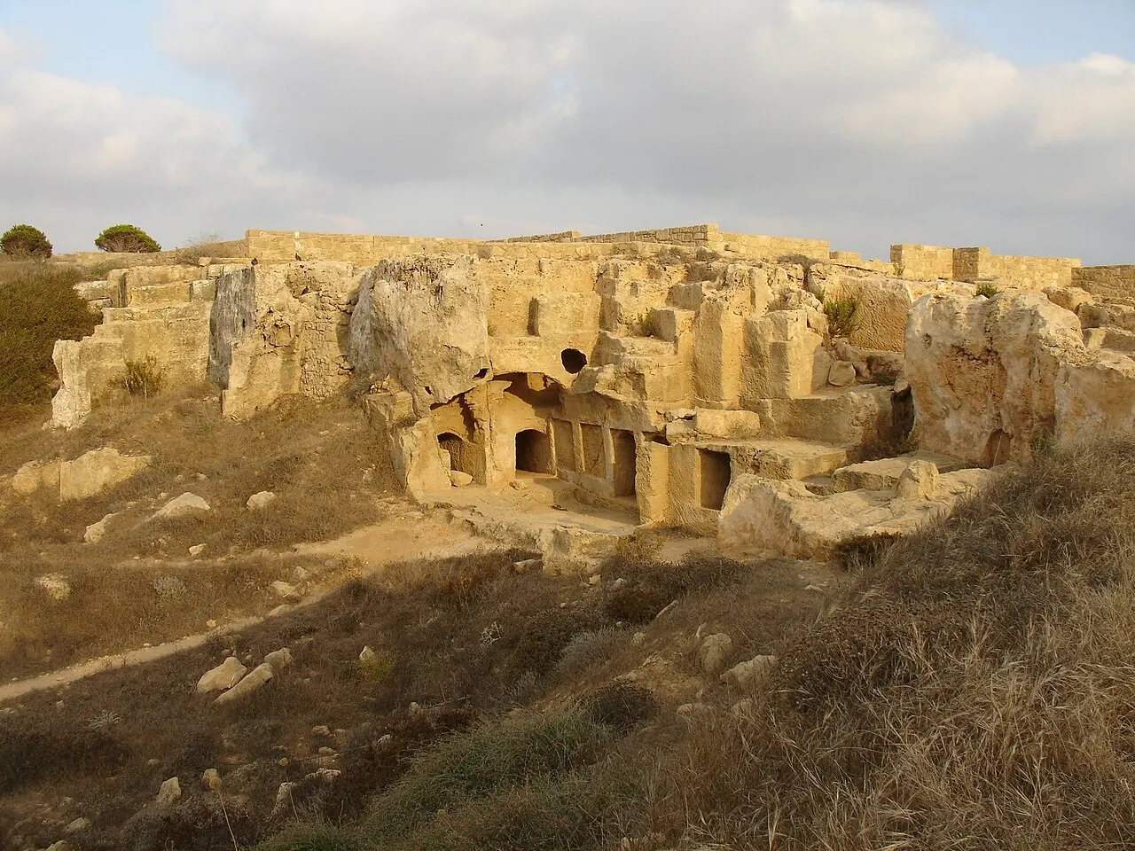
Tombs of the Kings — Paphos
Tombs of the Kings · Mgiganteus1 at en.wikipedia / CC BY-SA 3.0 (Wikimedia Commons)

What it is

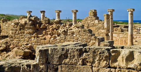
Despite the name, no kings were buried here: the underground tombs belonged to wealthy families of Hellenistic and Roman Paphos. The grandest have open courtyards surrounded by Doric columns cut from the rock.

Practical tips

The site is large and open to the sun. Bring water and a hat, and wear shoes with a good grip for the stone steps.

Frequently asked questions

How do I get to Tombs of the Kings by public transport?

The nearest stops are Tombs of the Kings, Tafoi Ton Vasileon - Morfou, Venus Beach Hotel. Open any of them to see the lines that stop there, or use the Journey Planner for a route from your location to Tombs of the Kings.

What is the nearest stop to Tombs of the Kings?

Tombs of the Kings (stop code 30349), about 250 m from Tombs of the Kings. On the stop page you can see all the lines that stop there and live arrival estimates.

Where is Tombs of the Kings located?

Tombs of the Kings is in Paphos. You can see its exact location and a 3D view at the top of this page.

How do I get to Tombs of the Kings from another part of the city?

Open the Journey Planner, enter your origin (an address or a stop) and Tombs of the Kings as the destination — you will get the best routes with lines, transfers and departure times based on the timetable.

Other landmarks

Photos: Wikimedia Commons (free/licensed) · 3D view: MapLibre + OpenStreetMap.