buses.appAthlone public transport
Loading 3D view…

Athlone Guide

Luan Gallery

Athlone

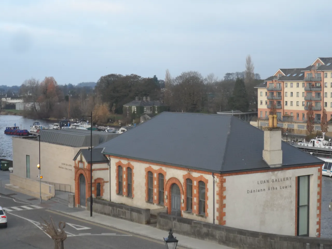
Athlone's contemporary art gallery on the banks of the Shannon, opened in 2012 in the converted Father Mathew Hall with a glass extension over the river.

How to get there by public transport

Lines stopping nearby

Plan a route to “Luan Gallery”

From your location or a typed address — the route is drawn on the 3D map above.

Loading planner…

Luan Gallery — Athlone
Luan Gallery · Sheila1988 / CC BY-SA 4.0 (Wikimedia Commons)

What it is

The gallery shows changing exhibitions of Irish and international contemporary art in three spaces, the largest with a full glass wall onto the river. It is run by Westmeath County Council and entry is free; the programme includes talks and workshops.

The riverside terrace outside is a good place to watch the boats coming through the lock.

Getting there by bus

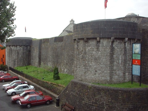
The gallery is on Grace Road at the western end of the bridge, beside the castle and the church of Saints Peter and Paul. Town buses stop at the Luan Gallery stop outside, and the bus and railway station is ten minutes' walk.

It closes on Mondays.
Frequently asked questions

How do I get to Luan Gallery by public transport?

The nearest stops are Luan Gallery, Castle Street, Pearse Street. Open any of them to see the lines that stop there, or use the Journey Planner for a route from your location to Luan Gallery.

What is the nearest stop to Luan Gallery?

Luan Gallery (stop code 456061), about 60 m from Luan Gallery. On the stop page you can see all the lines that stop there and live arrival estimates.

Where is Luan Gallery located?

Luan Gallery is in Athlone. You can see its exact location and a 3D view at the top of this page.

How do I get to Luan Gallery from another part of the city?

Open the Journey Planner, enter your origin (an address or a stop) and Luan Gallery as the destination — you will get the best routes with lines, transfers and departure times based on the timetable.

Other landmarks

Photos: Wikimedia Commons (free/licensed) · 3D view: MapLibre + OpenStreetMap.