buses.appDrogheda public transport
Loading 3D view…

Drogheda Guide

Boyne Viaduct

Drogheda

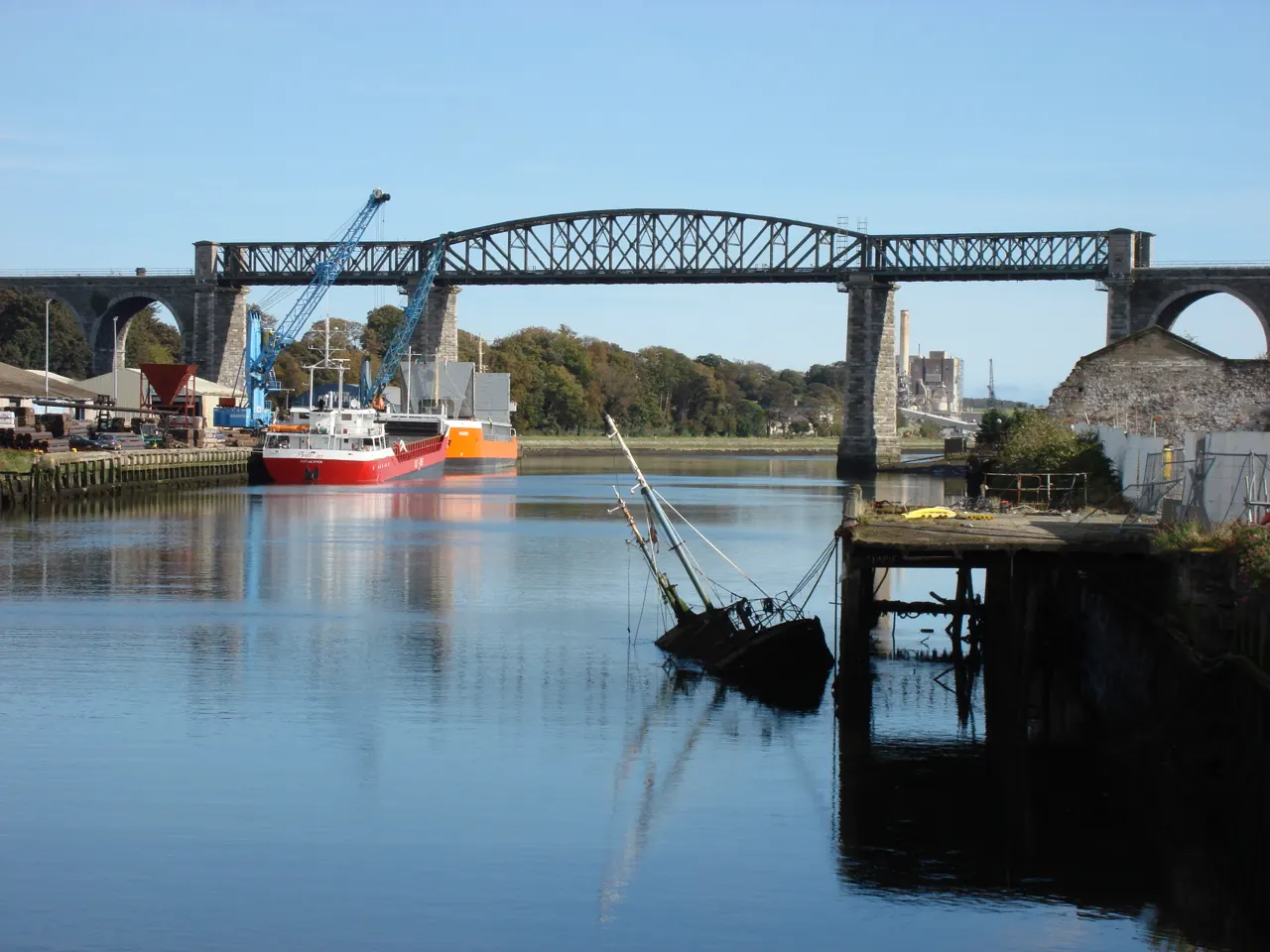
The great railway viaduct of 1855 carrying the Dublin–Belfast line 30 metres above the River Boyne, an engineering landmark that frames every view of Drogheda.

How to get there by public transport

Lines stopping nearby

Plan a route to “Boyne Viaduct”

From your location or a typed address — the route is drawn on the 3D map above.

Loading planner…

Boyne Viaduct — Drogheda
Boyne Viaduct · Trounce / CC BY 3.0 (Wikimedia Commons)

What it is

Sir John MacNeill's viaduct has twelve stone arches on the south bank, three on the north and a central iron span that was rebuilt in 1932; it was one of the first large lattice-girder bridges in the world. Trains still cross it every half hour, which makes it a favourite of photographers from the riverside walk below.

The best views are from the Marsh Road on the north bank and from the Ramparts walk on the south side.

Getting there by bus

The viaduct is 15 minutes' walk east of the town centre along the north quay. Buses along Scarlet Street and Marsh Road stop a few minutes away (Scarlet Street stop), and MacBride railway station is right beside the northern end.

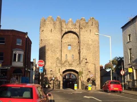
Combine it with the walk up to St Laurence's Gate.
Frequently asked questions

How do I get to Boyne Viaduct by public transport?

The nearest stops are Scarlet Street, Drogheda Stn, St Mary's Hospital. Open any of them to see the lines that stop there, or use the Journey Planner for a route from your location to Boyne Viaduct.

What is the nearest stop to Boyne Viaduct?

Scarlet Street (stop code 126241), about 430 m from Boyne Viaduct. On the stop page you can see all the lines that stop there and live arrival estimates.

Where is Boyne Viaduct located?

Boyne Viaduct is in Drogheda. You can see its exact location and a 3D view at the top of this page.

How do I get to Boyne Viaduct from another part of the city?

Open the Journey Planner, enter your origin (an address or a stop) and Boyne Viaduct as the destination — you will get the best routes with lines, transfers and departure times based on the timetable.

Other landmarks

Photos: Wikimedia Commons (free/licensed) · 3D view: MapLibre + OpenStreetMap.