buses.appDundalk public transport
Loading 3D view…

Dundalk Guide

Ice House Hill Park

Dundalk

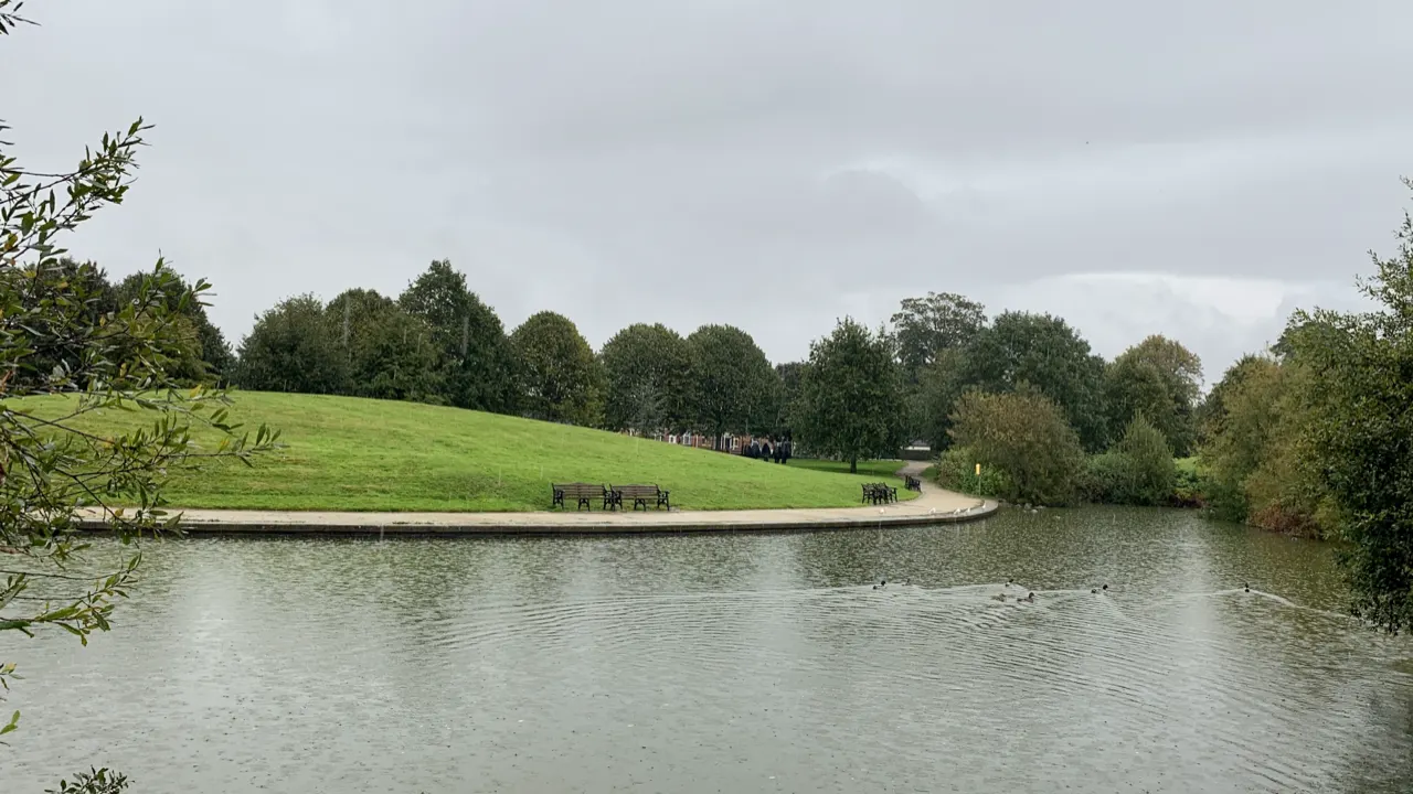
A landscaped town park on the site of an eighteenth-century ice house, with a lake, woodland paths and a playground a few minutes from Dundalk's centre.

How to get there by public transport

Lines stopping nearby

Plan a route to “Ice House Hill Park”

From your location or a typed address — the route is drawn on the 3D map above.

Loading planner…

Ice House Hill Park — Dundalk
Ice House Hill Park · DSexton / CC BY-SA 4.0 (Wikimedia Commons)

What it is

The hill takes its name from the underground ice store of the old Dundalk House demesne; the estate's grounds became a public park in the twentieth century. The pond with its ducks and the mature trees make it the town's favourite short walk, and the park is used for summer concerts and community events.

The park closes at dusk.

Getting there by bus

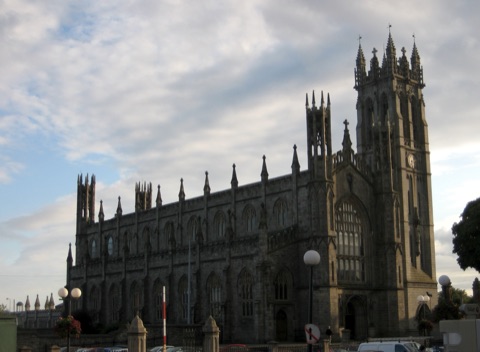
The park is a ten-minute walk west of Market Square along Castletown Road. Town buses along Castletown Road stop close to the entrances (Redeemer Church stop).

Dundalk railway station is a further five minutes west.
Frequently asked questions

How do I get to Ice House Hill Park by public transport?

The nearest stops are Redeemer Ch, Árd Easmuinn, Redeemer Cntr. Open any of them to see the lines that stop there, or use the Journey Planner for a route from your location to Ice House Hill Park.

What is the nearest stop to Ice House Hill Park?

Redeemer Ch (stop code 680351), about 270 m from Ice House Hill Park. On the stop page you can see all the lines that stop there and live arrival estimates.

Where is Ice House Hill Park located?

Ice House Hill Park is in Dundalk. You can see its exact location and a 3D view at the top of this page.

How do I get to Ice House Hill Park from another part of the city?

Open the Journey Planner, enter your origin (an address or a stop) and Ice House Hill Park as the destination — you will get the best routes with lines, transfers and departure times based on the timetable.

Other landmarks

Photos: Wikimedia Commons (free/licensed) · 3D view: MapLibre + OpenStreetMap.