buses.appSligo public transport
Loading 3D view…

Sligo Guide

The Model

Sligo

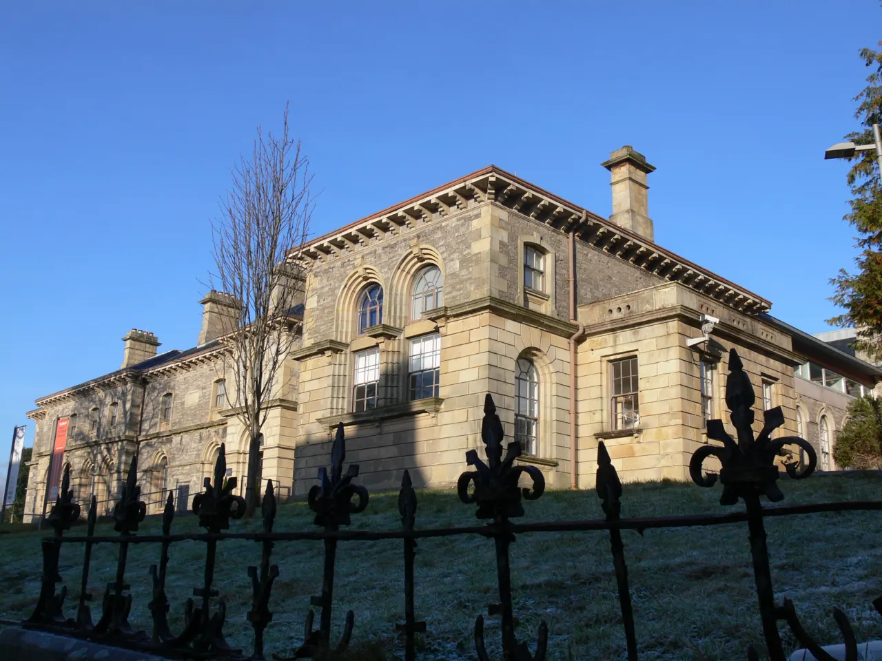
One of Ireland's leading contemporary art centres, in a Victorian school on the Mall, home to the Niland Collection of paintings by Jack B. Yeats.

How to get there by public transport

Lines stopping nearby

Plan a route to “The Model”

From your location or a typed address — the route is drawn on the 3D map above.

Loading planner…

The Model — Sligo
The Model · Val / CC BY 2.0 (Wikimedia Commons)

What it is

The Model School of 1862 was converted into galleries, a cinema and performance space, and the Niland Collection gives it the largest public holding of Jack B. Yeats's paintings outside Dublin, along with work by Paul Henry and other Irish artists. Exhibitions change regularly, and the café and courtyard are popular with locals.

Entry to the galleries is free.

Getting there by bus

The Model is on the Mall, five minutes' walk uphill from the town centre and ten from the bus and railway station. Town buses along the Mall stop near the hospital, a minute away (Sligo Hospital stop).

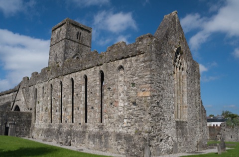
Sligo Abbey is five minutes back down the hill.
Frequently asked questions

How do I get to The Model by public transport?

The nearest stops are Sligo Hospital, Molloway Hill, Connaughton Rd. Open any of them to see the lines that stop there, or use the Journey Planner for a route from your location to The Model.

What is the nearest stop to The Model?

Sligo Hospital (stop code 558781), about 70 m from The Model. On the stop page you can see all the lines that stop there and live arrival estimates.

Where is The Model located?

The Model is in Sligo. You can see its exact location and a 3D view at the top of this page.

How do I get to The Model from another part of the city?

Open the Journey Planner, enter your origin (an address or a stop) and The Model as the destination — you will get the best routes with lines, transfers and departure times based on the timetable.

Other landmarks

Photos: Wikimedia Commons (free/licensed) · 3D view: MapLibre + OpenStreetMap.