buses.appWexford public transport
Loading 3D view…

Wexford Guide

Westgate Tower

Wexford

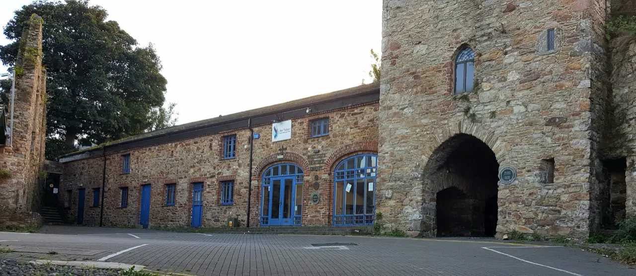
The only survivor of Wexford's five medieval town gates, a thirteenth-century tower on the Norman walls that now houses the town's heritage centre.

How to get there by public transport

Lines stopping nearby

Plan a route to “Westgate Tower”

From your location or a typed address — the route is drawn on the 3D map above.

Loading planner…

Westgate Tower — Wexford
Westgate Tower · Moyarney / CC BY-SA 4.0 (Wikimedia Commons)

What it is

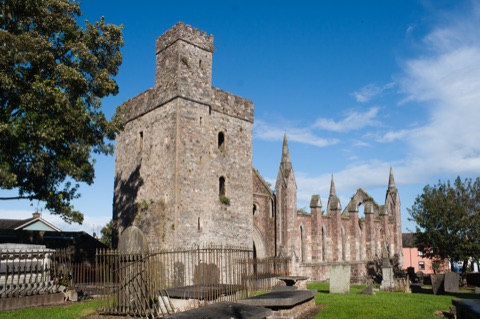
Built by Sir Stephen Devereux around 1300, the gate was a toll station for goods entering the town and later served as a prison. The heritage centre inside explains the Viking founding of Wexford, the Norman walls and the 1798 rising with a short film, and gives access to the walls and to Selskar Abbey.

The centre's staff also run walking tours of the old town.

Getting there by bus

The tower is on Westgate at the north end of the town centre, five minutes' walk from the Quay and the railway and bus station at Redmond Square. Town buses stop on Westgate and at Selskar College right beside it.

From here the old walled town runs south along the narrow Main Street.
Frequently asked questions

How do I get to Westgate Tower by public transport?

The nearest stops are Selskar College, Wexford Stn, Hill Street. Open any of them to see the lines that stop there, or use the Journey Planner for a route from your location to Westgate Tower.

What is the nearest stop to Westgate Tower?

Selskar College (stop code 13983), about 60 m from Westgate Tower. On the stop page you can see all the lines that stop there and live arrival estimates.

Where is Westgate Tower located?

Westgate Tower is in Wexford. You can see its exact location and a 3D view at the top of this page.

How do I get to Westgate Tower from another part of the city?

Open the Journey Planner, enter your origin (an address or a stop) and Westgate Tower as the destination — you will get the best routes with lines, transfers and departure times based on the timetable.

Other landmarks

Photos: Wikimedia Commons (free/licensed) · 3D view: MapLibre + OpenStreetMap.