
Guide
Auckland Guide
Auckland landmarks in true 3D — and how to reach each by public transport (lines, nearest stops, a planner from your location).
- 12Landmarks
- 5Guides & tips
- AucklandCity
Guides & tips
All guides →Landmarks · 12
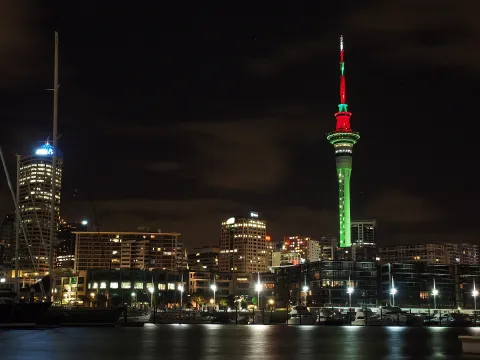 3D LandmarkSky TowerAuckland's 328-metre telecommunications and observation tower, opened in 1997 as part of the SkyCity complex and the tallest freestanding structure in New Zealand, visible from almost everywhere in the city.Open guide
 3D MuseumAuckland War Memorial Museum Tāmaki Paenga HiraA neoclassical museum and war memorial on the volcanic hill of Pukekawa in the Auckland Domain, known for its Māori and Pacific collections, natural history galleries and the Halls of Memories.Open guide
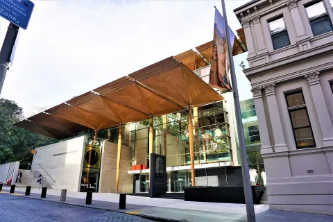 3D MuseumAuckland Art Gallery Toi o TāmakiNew Zealand's largest art institution, housed in an 1880s French Renaissance-style building on the edge of Albert Park, joined to a timber-canopied extension that won World Building of the Year in 2013.Open guide
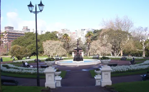 3D ParkAlbert ParkA Victorian-era park on the slope between the city centre and the University of Auckland, laid out in the 1880s on the site of the Albert Barracks, with a cast-iron fountain, statues and a floral clock.Open guide
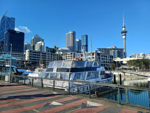 3D LandmarkViaduct HarbourA former commercial basin on Auckland's waterfront, redeveloped around the America's Cup defence of 2000 into a marina lined with restaurants, bars and apartments and moorings for large yachts.Open guide
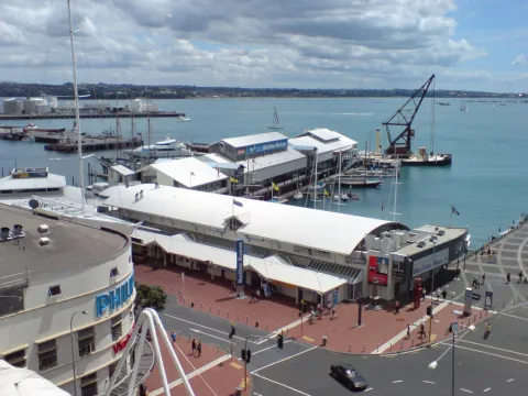 3D MuseumNew Zealand Maritime Museum Hui Te Ananui a TangaroaA museum of New Zealand's seafaring history on Hobson Wharf at the Viaduct Harbour, opened in 1993, covering Polynesian voyaging, immigration, coastal trade and yachting, with historic vessels moored outside.Open guide
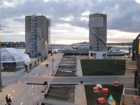 3D LandmarkWynyard QuarterA waterfront district on reclaimed land west of the Viaduct Harbour, once a tank farm for fuel and chemicals and opened to the public from 2011 with parks, promenades, restaurants and the Auckland Fish Market.Open guide
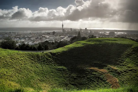 3D NatureMaungawhau / Mount EdenAt 196 metres the highest natural point on the Auckland isthmus, a volcanic cone with a deep, grassy crater, the terraces of a former Māori pā and wide views over the city and both harbours.Open guide
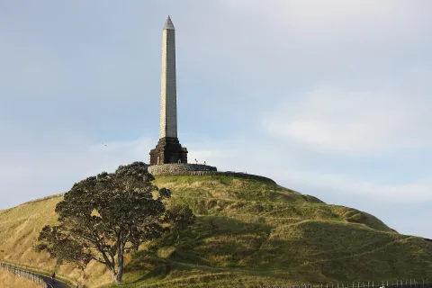 3D NatureMaungakiekie / One Tree HillA 182-metre volcanic peak that was once the largest pā on the Auckland isthmus, crowned by an obelisk and the grave of Sir John Logan Campbell and surrounded by the pastures of Cornwall Park.Open guide
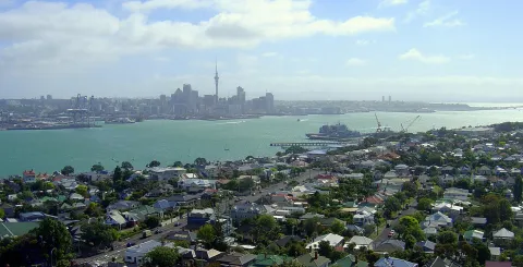 3D HistoryDevonportA seaside suburb on the North Shore, across the harbour from the city centre, known for its Victorian and Edwardian villas, its naval base and the volcanic hills of Takarunga and Maungauika.Open guide
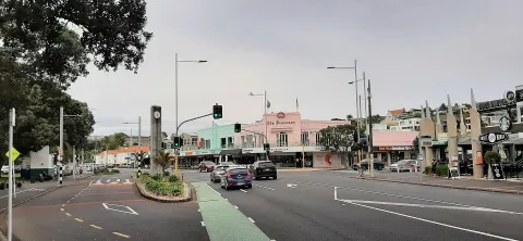 3D BeachMission BayA sandy beach and seaside suburb on Tāmaki Drive, about seven kilometres east of the city centre, with a marble fountain, a grassy reserve and views across the harbour to Rangitoto Island.Open guide
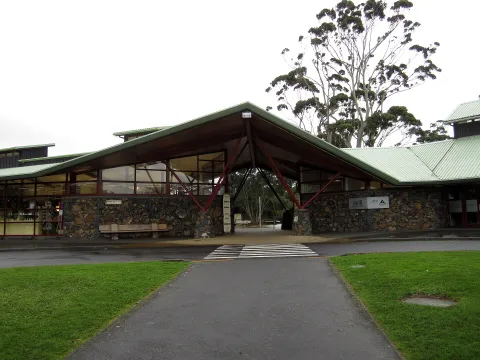 3D ParkAuckland ZooNew Zealand's largest zoo, opened in 1922 next to Western Springs Park, with more than 1,400 animals and a large precinct devoted to native wildlife and habitats.Open guide
Frequently asked questions
How do I reach Auckland’s landmarks by public transport?
Open any landmark from the guide — its page shows the nearest stops and a planner that finds a route from your location to it, with lines, transfers and departure times based on the timetable.
Which landmarks does the guide cover?
Auckland’s best-known landmarks — Sky Tower, Auckland War Memorial Museum Tāmaki Paenga Hira, Auckland Art Gallery Toi o Tāmaki, Albert Park, Viaduct Harbour — each with a 3D view of the location and directions on how to get there by public transport.
What is the 3D view of a landmark?
An interactive 3D model of the location (buildings and surroundings from OpenStreetMap data) that rotates and tilts. It is not a photo but a graphical view of the place, so you can recognise the area before you set off.
How do I plan a tour of several landmarks?
Use the Journey Planner for a public transport route to each landmark; every landmark page also lists the nearest stops with arrival estimates, so you can easily chain several points into one tour.
Photos: Wikimedia Commons (free/licensed) · 3D view: MapLibre + OpenStreetMap.