buses.appAuckland public transport
Loading 3D view…

Auckland Guide

Viaduct Harbour

Auckland

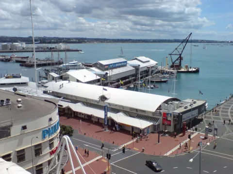
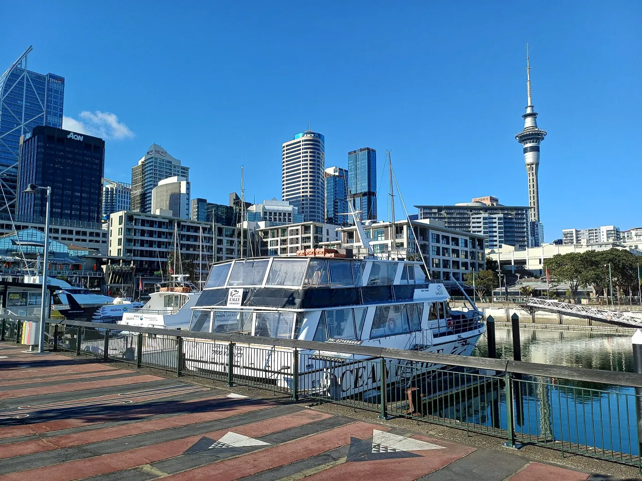
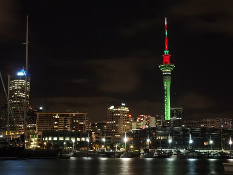
A former commercial basin on Auckland's waterfront, redeveloped around the America's Cup defence of 2000 into a marina lined with restaurants, bars and apartments and moorings for large yachts.

How to get there by public transport

Plan a route to “Viaduct Harbour”

From your location or a typed address — the route is drawn on the 3D map above.

Loading planner…

Viaduct Harbour — Auckland
Viaduct Harbour · Radosław Botev / CC BY 3.0 pl (Wikimedia Commons)

What it is

The Viaduct Basin was long a working harbour used by fishing boats and coastal shipping. In the late 1990s it was rebuilt as the base for the syndicates of the 1999-2000 Louis Vuitton Cup and America's Cup, held in Auckland after Team New Zealand won the trophy in 1995, and it hosted the event again in 2003 and 2021.

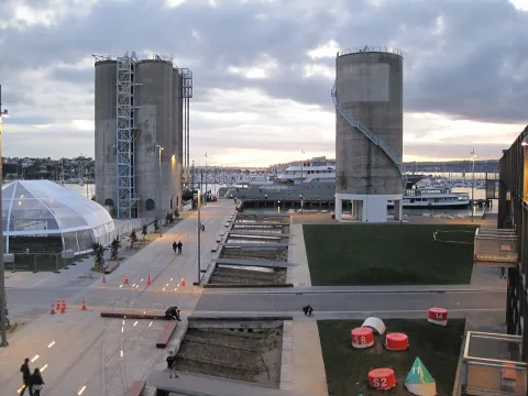
Today the basin is surrounded by promenades, restaurants and bars, apartment blocks and offices. Superyachts and racing yachts moor along the quays, the New Zealand Maritime Museum stands on its eastern side, and a lifting bridge links it to the Wynyard Quarter to the west.

Getting there by bus

The nearest stops are on Customs Street West, about 250 metres from the basin, roughly three minutes on foot. Customs Street West (stop 7142) and Bradnor Lane (stop 7034) are both served by routes 774, 775, 95B, 95C, 97B, 97R and NX1, as well as by the CityLink (CTY) and the Inner Link (INN).

On the Wynyard side, Madden Street (stop 1067) has routes 75, 774, 775 and CTY, and Fanshawe Street/Victoria Park (stop 1315) is served by routes 95B, 95C, 97B, 97R, MEX and NX1.

Frequently asked questions

How do I get to Viaduct Harbour by public transport?

The nearest stops are Customs Street West, Bradnor Lane, Hobson Street. Open any of them to see the lines that stop there, or use the Journey Planner for a route from your location to Viaduct Harbour.

What is the nearest stop to Viaduct Harbour?

Customs Street West (stop code 7142), about 240 m from Viaduct Harbour. On the stop page you can see all the lines that stop there and live arrival estimates.

Where is Viaduct Harbour located?

Viaduct Harbour is in Auckland. You can see its exact location and a 3D view at the top of this page.

How do I get to Viaduct Harbour from another part of the city?

Open the Journey Planner, enter your origin (an address or a stop) and Viaduct Harbour as the destination — you will get the best routes with lines, transfers and departure times based on the timetable.

Other landmarks

Photos: Wikimedia Commons (free/licensed) · 3D view: MapLibre + OpenStreetMap.