buses.appAuckland public transport
Loading 3D view…

Auckland Guide

Wynyard Quarter

Auckland

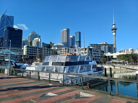
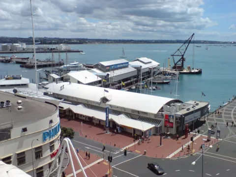
A waterfront district on reclaimed land west of the Viaduct Harbour, once a tank farm for fuel and chemicals and opened to the public from 2011 with parks, promenades, restaurants and the Auckland Fish Market.

How to get there by public transport

Lines stopping nearby

Plan a route to “Wynyard Quarter”

From your location or a typed address — the route is drawn on the 3D map above.

Loading planner…

Wynyard Quarter — Auckland
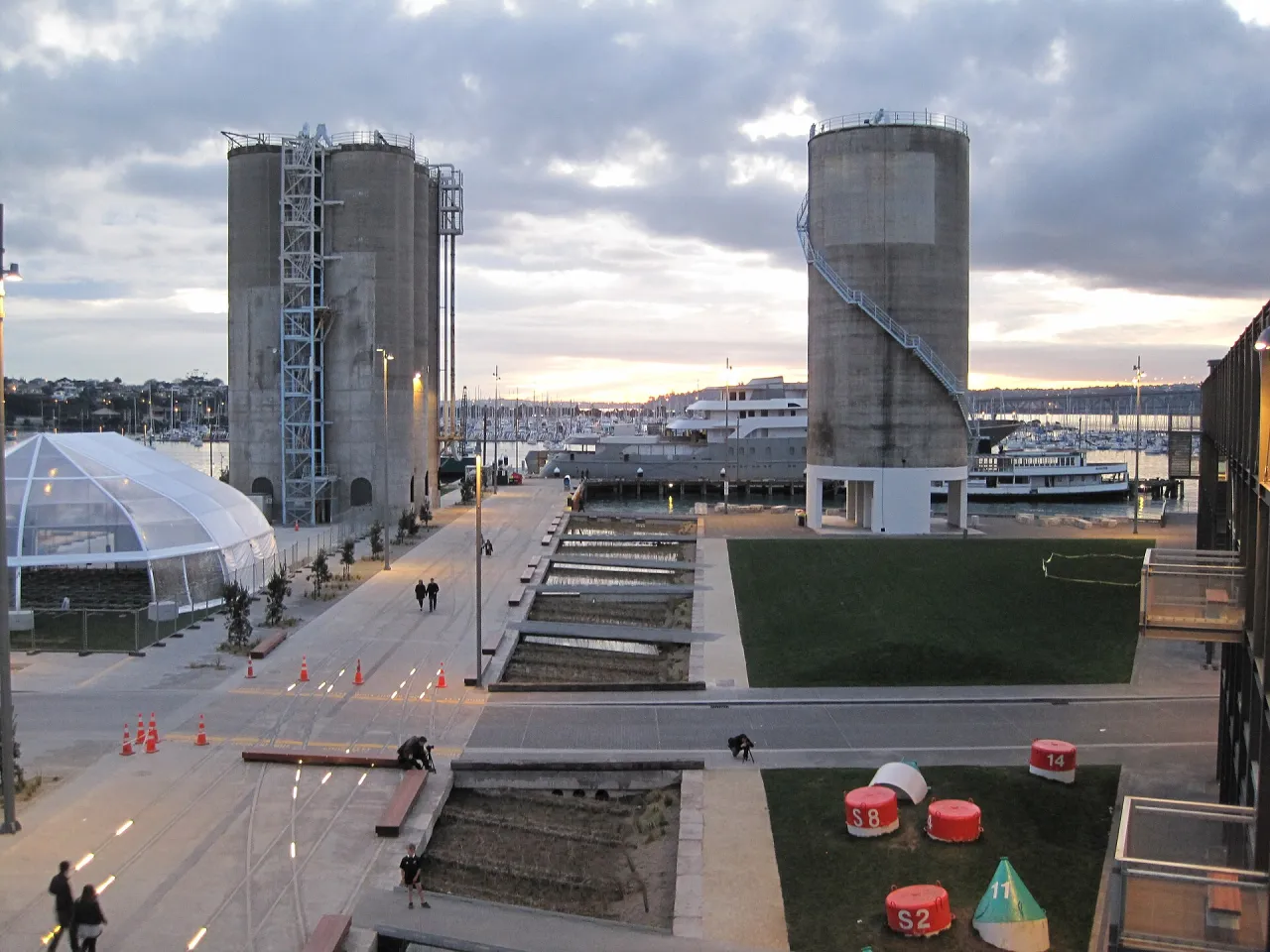
Wynyard Quarter · JohnTripperson / CC BY-SA 3.0 (Wikimedia Commons)

What it is

The land was reclaimed from the Waitematā Harbour by the Auckland Harbour Board and completed around 1930. Known as the Western Reclamation or simply the Tank Farm, it first served the timber trade and later became the city's main site for bulk petrochemical storage, with rows of large tanks on Wynyard Point.

Redevelopment began with the eastern section along Jellicoe Street, opened in August 2011 ahead of the Rugby World Cup. Today the quarter combines working fishing and marine industry wharves with offices, apartments and restaurants. Silo Park, on the former sand-unloading area at the western water's edge, keeps several old silos and is used for markets, outdoor films and events, and the North Wharf promenade leads back towards the Viaduct.

Getting there by bus

The Wynyard Quarter stop (stop 1061), about 85 metres away, is served by routes 20 and 75 and by the CityLink (CTY), which runs from here through the city centre along Queen Street. Madden Street (stop 1068) has routes 75, 774, 775 and CTY, and Daldy Street/Gaunt Street (stop 1072) is served by the same routes.

Fanshawe Street (stop 1303) has route 20, and Daldy Street (stop 7037), about six minutes' walk away, is served by routes 82 and NX2. The Hamer Street Sealink Ferry Terminal (stop 9719) at the western end of the quarter is the departure point of the KPHS ferry service.


Frequently asked questions

How do I get to Wynyard Quarter by public transport?

The nearest stops are Wynyard Quarter, Madden Street, Daldy Street/Gaunt Street. Open any of them to see the lines that stop there, or use the Journey Planner for a route from your location to Wynyard Quarter.

What is the nearest stop to Wynyard Quarter?

Wynyard Quarter (stop code 1061), about 80 m from Wynyard Quarter. On the stop page you can see all the lines that stop there and live arrival estimates.

Where is Wynyard Quarter located?

Wynyard Quarter is in Auckland. You can see its exact location and a 3D view at the top of this page.

How do I get to Wynyard Quarter from another part of the city?

Open the Journey Planner, enter your origin (an address or a stop) and Wynyard Quarter as the destination — you will get the best routes with lines, transfers and departure times based on the timetable.

Other landmarks

Photos: Wikimedia Commons (free/licensed) · 3D view: MapLibre + OpenStreetMap.