buses.appWellington public transport
Loading 3D view…

Wellington Guide

Matairangi / Mount Victoria

Wellington

A 196-metre hill on the Town Belt just east of central Wellington, whose summit lookout gives a full panorama of the city, harbour, airport and Miramar Peninsula.

How to get there by public transport

Lines stopping nearby

Plan a route to “Matairangi / Mount Victoria”

From your location or a typed address — the route is drawn on the 3D map above.

Loading planner…

Matairangi / Mount Victoria — Wellington
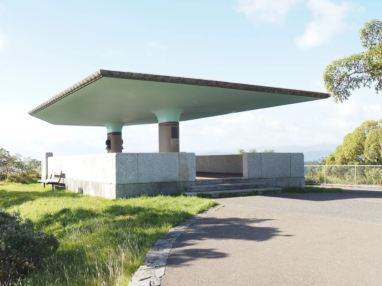
Matairangi / Mount Victoria · Marshelec / CC BY-SA 4.0 (Wikimedia Commons)

What it is

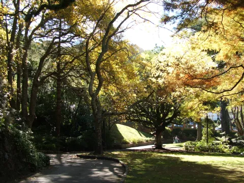
The hill, known as Mt Vic, was originally called Tangi Te Keo in Māori, and the name Matairangi, meaning to examine the sky, is also used. Its slopes are part of the Town Belt, the band of public green space set aside in 1840 when the New Zealand Company laid out Wellington, and are crossed by walking and mountain-bike tracks through pine and native forest.

The lookout was built in 1964 on the site of a former signal station. Below it stands the Byrd Memorial, unveiled in 1962 in honour of the American polar explorer Richard Byrd and shaped like a polar tent. The hill was also used as a location for The Lord of the Rings: the first footage for the trilogy was shot in the woods off Alexandra Road in 1999.

Getting there by bus

Route 20, Mt Victoria - Wellington Station, is the only service that climbs the hill. It stops at Mt Victoria Lookout (stop 7575), less than 50 metres from the viewpoint, and at several stops along Alexandra Road, such as Alexandra Road (near 46) (stop 7571) and Alexandra Road at Upoko Road (stop 6571).

On the way up from the city it also serves Palliser Road at Charles Plimmer Park (stops 6565 and 7565), about 190 metres below the summit, which is a good starting point for walking the last part through the Town Belt.
Frequently asked questions

How do I get to Matairangi / Mount Victoria by public transport?

The nearest stops are Mt Victoria Lookout, Alexandra Road (near 46), Alexandra Road at Upoko Road. Open any of them to see the lines that stop there, or use the Journey Planner for a route from your location to Matairangi / Mount Victoria.

What is the nearest stop to Matairangi / Mount Victoria?

Mt Victoria Lookout (stop code 7575), about 40 m from Matairangi / Mount Victoria. On the stop page you can see all the lines that stop there and live arrival estimates.

Where is Matairangi / Mount Victoria located?

Matairangi / Mount Victoria is in Wellington. You can see its exact location and a 3D view at the top of this page.

How do I get to Matairangi / Mount Victoria from another part of the city?

Open the Journey Planner, enter your origin (an address or a stop) and Matairangi / Mount Victoria as the destination — you will get the best routes with lines, transfers and departure times based on the timetable.

Other landmarks

Photos: Wikimedia Commons (free/licensed) · 3D view: MapLibre + OpenStreetMap.