buses.appWellington public transport
Loading 3D view…

Wellington Guide

Wellington Botanic Garden

Wellington

A 25-hectare garden on the hillside between Thorndon and Kelburn, established in 1868, combining native forest, exotic plantings, the Lady Norwood Rose Garden and the Begonia House.

How to get there by public transport

Lines stopping nearby

Plan a route to “Wellington Botanic Garden”

From your location or a typed address — the route is drawn on the 3D map above.

Loading planner…

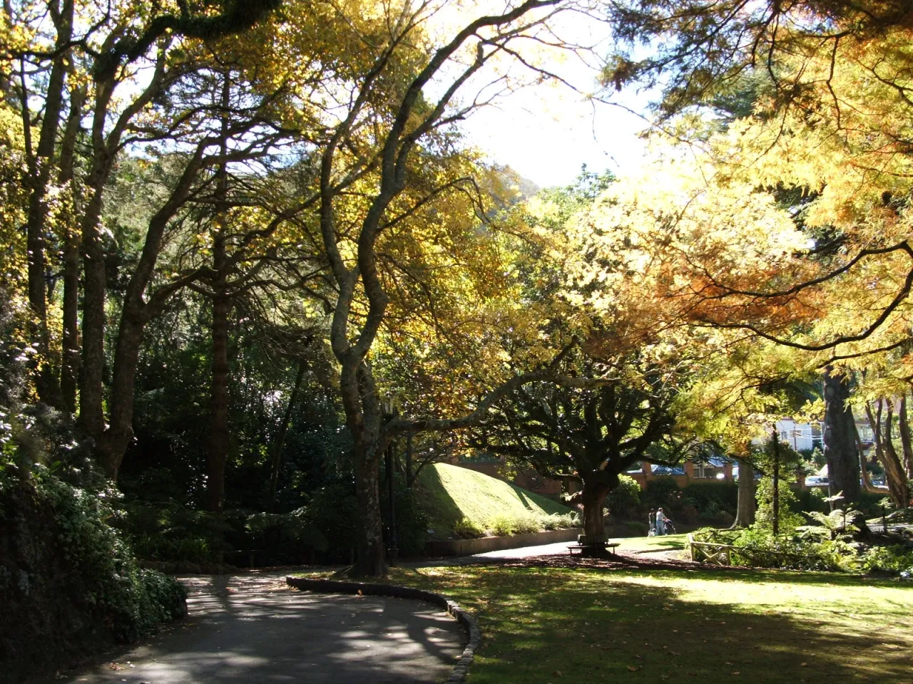
Wellington Botanic Garden — Wellington
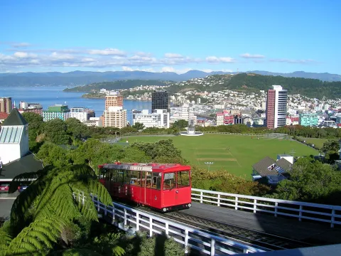
Wellington Botanic Garden · Ppe42 / Public domain (Wikimedia Commons)

What it is

The garden was established in 1868 on a small site and enlarged in 1871; today it covers about 25 hectares of steep valleys and ridges. Remnants of native forest grow alongside 19th-century conifer plantings, and the James Hector Pinetum, opened in 1992, continues that tradition.

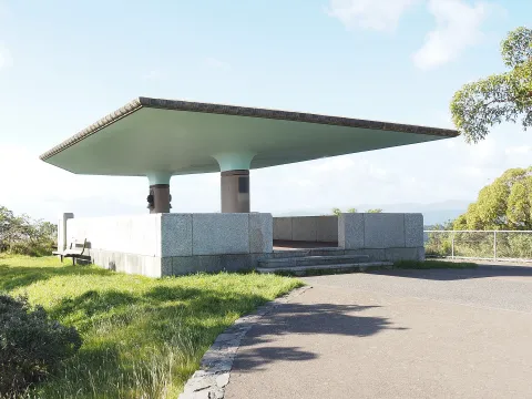
In the lower part of the garden, the Lady Norwood Rose Garden, created between 1950 and 1953 over a filled-in gully, has 110 formal rose beds. Next to it, the Begonia House opened in 1960 and was then the largest glasshouse in the southern hemisphere. The garden also has the Treehouse visitor centre, a duck pond, the Sound Shell, a Henry Moore sculpture, and at its upper end Space Place at Carter Observatory, next to the cable car terminus.

Getting there by bus

Buses run along Glenmore Street on the western side of the garden. Botanic Garden - Glenmore Street (opposite) (stop 4313) and Glenmore Street at Botanic Garden (stop 5313), about 270 metres away, are served by routes 2, 13, 33 and 34, and the same routes stop at Tinakori Road at St Mary Street (stop 4312) near the lower entrance.

Another option is the cable car: the CCL runs from Lambton Quay to Kelburn - Cable Car Station (stop KELB), about 300 metres from the garden's centre, from where paths lead downhill through the garden. Salamanca - Cable Car Station (stop SALA) is also within walking distance.

Frequently asked questions

How do I get to Wellington Botanic Garden by public transport?

The nearest stops are Botanic Garden - Glenmore Street (opposite), Glenmore Street at Botanic Garden, Glenmore Street at Orangi Kaupapa Road. Open any of them to see the lines that stop there, or use the Journey Planner for a route from your location to Wellington Botanic Garden.

What is the nearest stop to Wellington Botanic Garden?

Botanic Garden - Glenmore Street (opposite) (stop code 4313), about 270 m from Wellington Botanic Garden. On the stop page you can see all the lines that stop there and live arrival estimates.

Where is Wellington Botanic Garden located?

Wellington Botanic Garden is in Wellington. You can see its exact location and a 3D view at the top of this page.

How do I get to Wellington Botanic Garden from another part of the city?

Open the Journey Planner, enter your origin (an address or a stop) and Wellington Botanic Garden as the destination — you will get the best routes with lines, transfers and departure times based on the timetable.

Other landmarks

Photos: Wikimedia Commons (free/licensed) · 3D view: MapLibre + OpenStreetMap.