
Guide
Graz Guide
Graz landmarks in true 3D — and how to reach each by public transport (lines, nearest stops, a planner from your location).
- 7Landmarks
- 5Guides & tips
- GrazCity
Guides & tips
All guides →Landmarks · 7
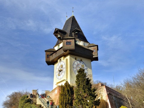 3D LandmarkSchlossberg & Clock Tower (Uhrturm)The wooded hill in the middle of Graz and the 16th-century clock tower on its slope, the city's emblem, whose big hand shows the hours and the small hand the minutes.Open guide
 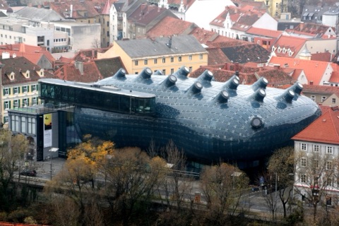 3D MuseumKunsthaus GrazThe blue, bubble-shaped contemporary art centre on the right bank of the Mur, nicknamed the Friendly Alien, built for Graz's year as European Capital of Culture in 2003.Open guide
 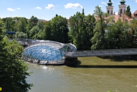 3D LandmarkMurinsel (Island in the Mur)A floating steel-and-glass platform shaped like an open shell in the middle of the river Mur, with a café, a small amphitheatre and a playground, linked to both banks by footbridges.Open guide
 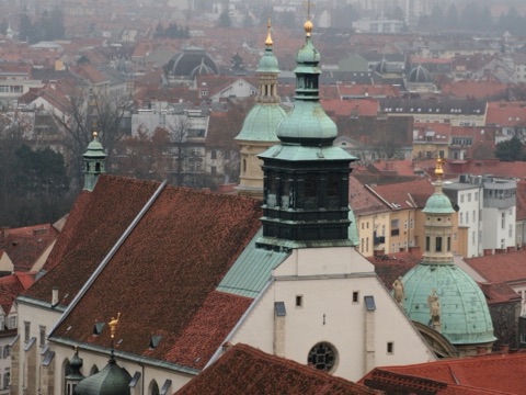 3D Church & monasteryGraz Cathedral & MausoleumA late Gothic court church built for Emperor Frederick III, with a baroque interior, and next to it the domed mausoleum of Emperor Ferdinand II, one of the finest mannerist buildings in Austria.Open guide
 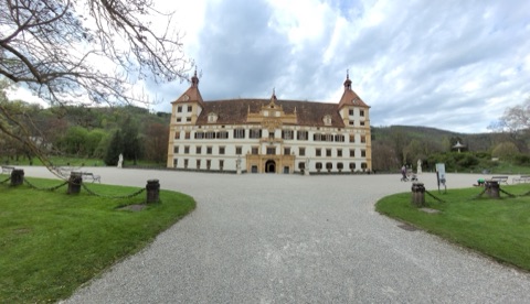 3D HistoryEggenberg Palace (Schloss Eggenberg)The largest baroque palace in Styria, planned as an allegory of the universe, set in a landscaped park with peacocks on the western edge of Graz.Open guide
 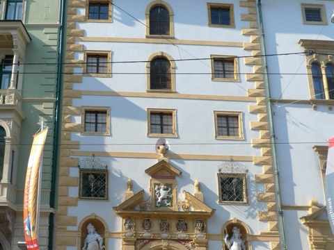 3D MuseumStyrian Armoury (Landeszeughaus)The world's largest historic armoury, with some 32,000 weapons and suits of armour kept in the building where they were stored in the 17th century, ready to defend Styria against the Ottomans.Open guide
 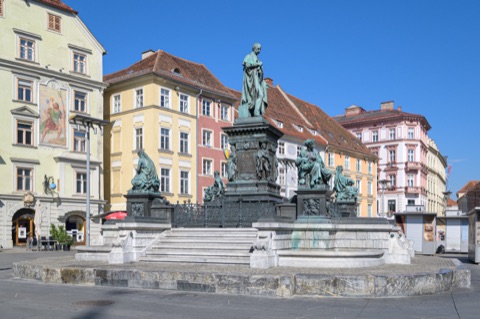 3D SquareHauptplatzThe main square of Graz's old town, with the town hall, the Archduke Johann Fountain and colourful baroque houses, and the city's central tram stop right in the middle.Open guide
 Frequently asked questions
How do I reach Graz’s landmarks by public transport?
Open any landmark from the guide — its page shows the nearest stops and a planner that finds a route from your location to it, with lines, transfers and departure times based on the timetable.
Which landmarks does the guide cover?
Graz’s best-known landmarks — Schlossberg & Clock Tower (Uhrturm), Kunsthaus Graz, Murinsel (Island in the Mur), Graz Cathedral & Mausoleum, Eggenberg Palace (Schloss Eggenberg) — each with a 3D view of the location and directions on how to get there by public transport.
What is the 3D view of a landmark?
An interactive 3D model of the location (buildings and surroundings from OpenStreetMap data) that rotates and tilts. It is not a photo but a graphical view of the place, so you can recognise the area before you set off.
How do I plan a tour of several landmarks?
Use the Journey Planner for a public transport route to each landmark; every landmark page also lists the nearest stops with arrival estimates, so you can easily chain several points into one tour.
Photos: Wikimedia Commons (free/licensed) · 3D view: MapLibre + OpenStreetMap.