
Guide
Tralee Guide
Tralee landmarks in true 3D — and how to reach each by public transport (lines, nearest stops, a planner from your location).
- 4Landmarks
- 5Guides & tips
- TraleeCity
Guides & tips
All guides →Leap Card and the TFI 90-minute fareHow to pay on buses, trams and trains in Ireland: the Leap Card, tapping on and off, and the 90-minute fare that lets you change vehicles in Dublin.Read the guideDublin Airport to the city by busThere is no train or tram to Dublin Airport — the choice is between Dublin Bus routes 16 and 41 with a Leap Card, or the Aircoach and Dublin Express coaches.Read the guideLuas and DART: the basicsDublin's two rail systems in short: the Luas tram with its Red and Green lines, and the DART electric train along the coast — where they go, how to pay and how they connect with buses.Read the guideNight buses in Ireland: Nitelink and 24-hour routesGetting home after midnight: Dublin's Nitelink network on Friday and Saturday nights, the 24-hour bus routes, and what runs at night in the other cities.Read the guideBus Éireann city buses in Cork, Galway, Limerick and WaterfordOutside Dublin the city buses are run by Bus Éireann under the TFI brand: how the route numbers work, where the buses stop in each city centre and how to pay.Read the guide
Landmarks · 4
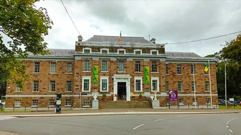 3D MuseumKerry County MuseumKerry's county museum in the Ashe Memorial Hall on Denny Street, with a walk-through recreation of medieval Tralee and a gallery on Antarctic explorer Tom Crean.Open guide
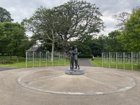 3D ParkTralee Town Park & Rose GardenA 14-hectare park in the centre of Tralee, laid out in the grounds of the Denny family's former mansion, with the rose garden of the Rose of Tralee festival at its heart.Open guide
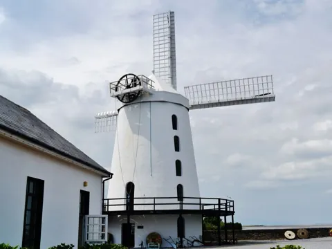 3D HistoryBlennerville WindmillThe largest working windmill in Ireland, built in 1800 at the head of Tralee Bay, with a visitor centre on milling and on the emigrant ships that left Blennerville during the Famine.Open guide
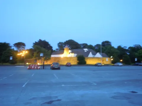 3D LandmarkSiamsa TíreThe National Folk Theatre of Ireland, in a round stone building beside the Town Park, staging shows of Irish music, song and dance rooted in Kerry's rural traditions.Open guide
Frequently asked questions
How do I reach Tralee’s landmarks by public transport?
Open any landmark from the guide — its page shows the nearest stops and a planner that finds a route from your location to it, with lines, transfers and departure times based on the timetable.
Which landmarks does the guide cover?
Tralee’s best-known landmarks — Kerry County Museum, Tralee Town Park & Rose Garden, Blennerville Windmill, Siamsa Tíre — each with a 3D view of the location and directions on how to get there by public transport.
Photos: Wikimedia Commons (free/licensed) · 3D view: MapLibre + OpenStreetMap.