buses.appWaterford public transport
Loading 3D view…

Waterford Guide

People's Park

Waterford

Waterford's Victorian public park of 1857 beside John's River, with a bandstand, playground, tree-lined walks and the city's main green space a short walk from the centre.

How to get there by public transport

Lines stopping nearby

Plan a route to “People's Park”

From your location or a typed address — the route is drawn on the 3D map above.

Loading planner…

People's Park — Waterford
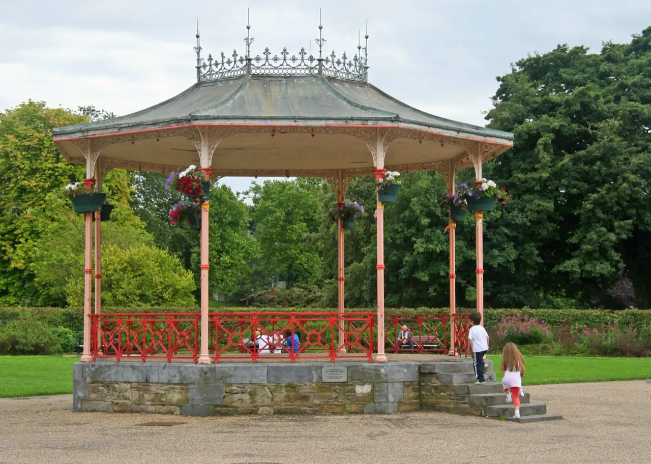
People's Park · Paul O'Farrell / CC BY-SA 2.0 (Wikimedia Commons)

What it is

The park was laid out on reclaimed marshland at the end of the Mall and keeps its Victorian layout: the cast-iron bandstand, the gate lodge, a fountain and formal flower beds under mature trees. It is where the city comes for a lunchtime walk, a run or a summer concert, and the Waterford Greenway towards Dungarvan can be reached along the river from here.

The park hosts the Spraoi street festival and food events in summer.

Getting there by bus

The park is a ten-minute walk from the Quay along the Mall and Parnell Street. City buses stop at Railway Square and along Parnell Street, a few minutes from the gates.

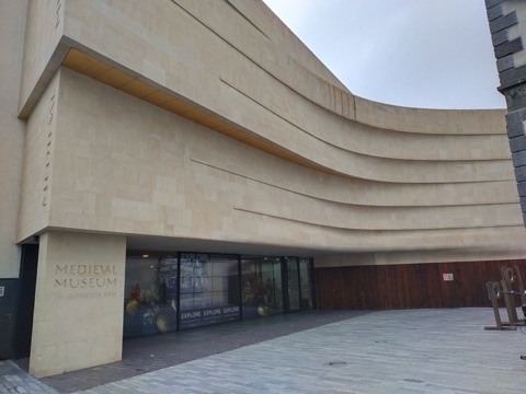
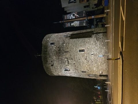
The Waterford Treasures museums are on the way back into town.
Frequently asked questions

How do I get to People's Park by public transport?

The nearest stops are Railway Square, John Street, Upr Johnstown. Open any of them to see the lines that stop there, or use the Journey Planner for a route from your location to People's Park.

What is the nearest stop to People's Park?

Railway Square (stop code 352061), about 160 m from People's Park. On the stop page you can see all the lines that stop there and live arrival estimates.

Where is People's Park located?

People's Park is in Waterford. You can see its exact location and a 3D view at the top of this page.

How do I get to People's Park from another part of the city?

Open the Journey Planner, enter your origin (an address or a stop) and People's Park as the destination — you will get the best routes with lines, transfers and departure times based on the timetable.

Other landmarks

Photos: Wikimedia Commons (free/licensed) · 3D view: MapLibre + OpenStreetMap.