
Guide
Gold Coast Guide
Gold Coast landmarks in true 3D — and how to reach each by public transport (lines, nearest stops, a planner from your location).
- 7Landmarks
- 5Guides & tips
- Gold CoastCity
Guides & tips
All guides →Landmarks · 7
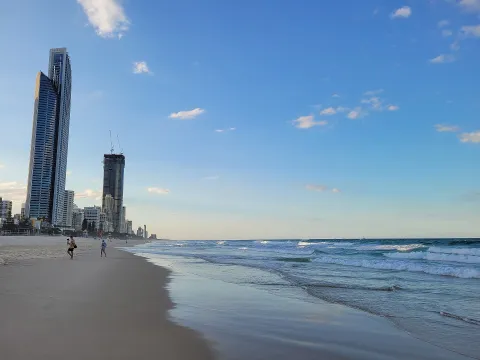 3D BeachSurfers Paradise BeachThe best-known beach on the Gold Coast, a long stretch of patrolled surf beach directly in front of the high-rise towers of Surfers Paradise, at the end of Cavill Avenue.Open guide
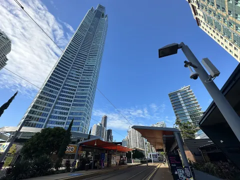 3D LandmarkQ1 Tower and SkyPointThe tallest building on the Gold Coast, a residential tower completed in 2005 whose spire reaches about 322 metres, with the SkyPoint observation deck near the top.Open guide
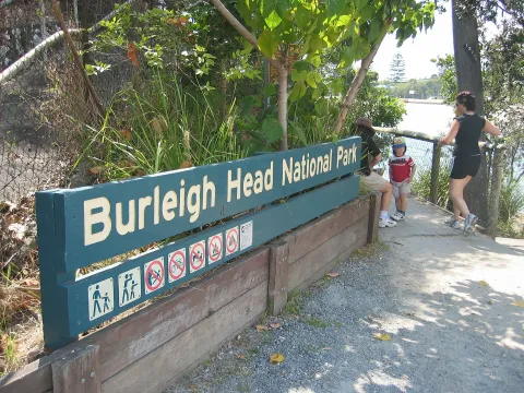 3D NatureBurleigh Head National ParkA small rainforest-covered headland between Burleigh Heads beach and the mouth of Tallebudgera Creek, with a coastal walking track and views north to Surfers Paradise.Open guide
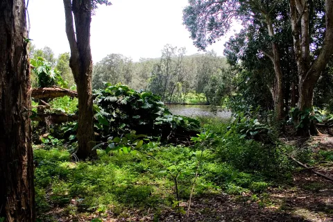 3D NatureCurrumbin Wildlife SanctuaryA wildlife park in Currumbin on the southern Gold Coast, which grew from lorikeet feeding in the 1940s and is now run by the National Trust of Queensland, with its own wildlife hospital.Open guide
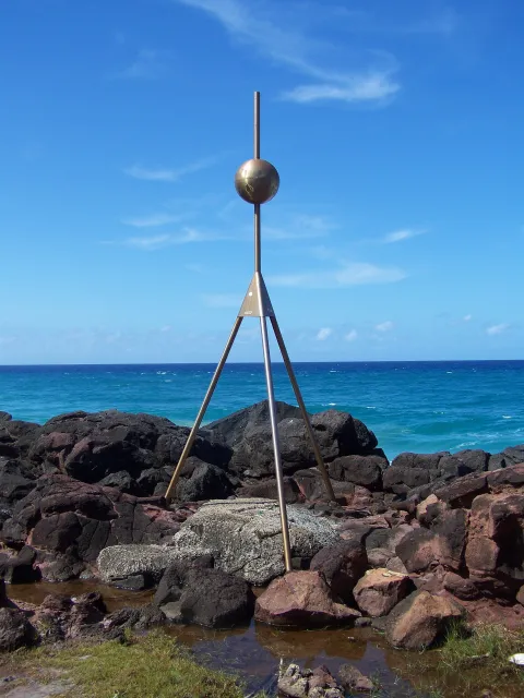 3D NaturePoint DangerThe headland at the southern end of the Gold Coast where the Queensland–New South Wales border meets the sea, with lookouts over the beaches of Coolangatta and Tweed Heads.Open guide
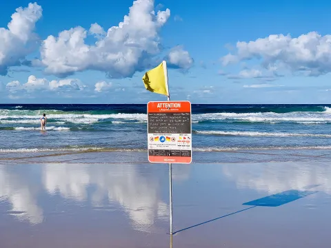 3D BeachKurrawa Beach, BroadbeachThe patrolled beach in front of Broadbeach, a quieter alternative to Surfers Paradise a few kilometres south, with a beachfront park and the Kurrawa Surf Life Saving Club.Open guide
 3D MuseumHOTA, Home of the ArtsThe Gold Coast's arts centre in Bundall, on the edge of Surfers Paradise, with theatres, a cinema, an outdoor stage and HOTA Gallery, set in parkland beside the Nerang River.Open guide
Frequently asked questions
How do I reach Gold Coast’s landmarks by public transport?
Open any landmark from the guide — its page shows the nearest stops and a planner that finds a route from your location to it, with lines, transfers and departure times based on the timetable.
Which landmarks does the guide cover?
Gold Coast’s best-known landmarks — Surfers Paradise Beach, Q1 Tower and SkyPoint, Burleigh Head National Park, Currumbin Wildlife Sanctuary, Point Danger — each with a 3D view of the location and directions on how to get there by public transport.
What is the 3D view of a landmark?
An interactive 3D model of the location (buildings and surroundings from OpenStreetMap data) that rotates and tilts. It is not a photo but a graphical view of the place, so you can recognise the area before you set off.
How do I plan a tour of several landmarks?
Use the Journey Planner for a public transport route to each landmark; every landmark page also lists the nearest stops with arrival estimates, so you can easily chain several points into one tour.
Photos: Wikimedia Commons (free/licensed) · 3D view: MapLibre + OpenStreetMap.