What it is
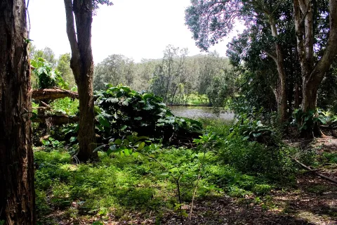
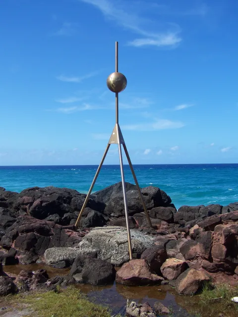
The headland was formed by ancient basalt lava flows, and the hexagonal rock columns are visible on the seaward side. The Oceanview walk runs around the headland between the beach and the creek, and the Rainforest circuit climbs through the forest to the top. The area, known as Jellurgal to the Yugambeh people, has deep cultural significance, and the Jellurgal Aboriginal Cultural Centre is at the southern end.
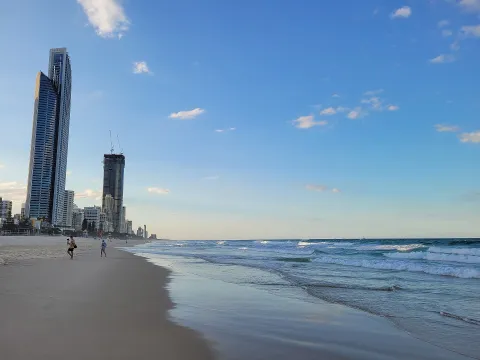
The point is one of the Gold Coast's best-known surf breaks, and whales can sometimes be seen offshore during the migration season.
Getting there by bus
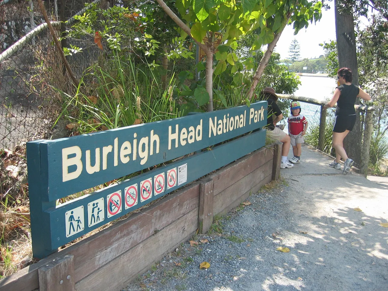
Routes 700, 701 and 754 along the Gold Coast Highway stop at Burleigh Heads National Park, about 250 metres from the southern entrance, and at Tweed St near the town centre. Burleigh Heads station, a bus interchange about 700 metres away, is served by further routes including 753 and 777.
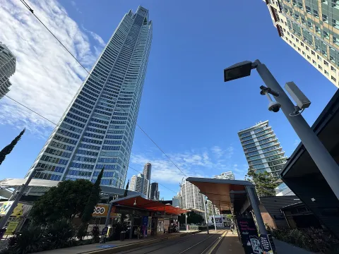
The G:link light rail (L1) extension also stops at Burleigh Heads, about 750 metres from the park.