buses.appGold Coast public transport
Loading 3D view…

Gold Coast Guide

Point Danger

Gold Coast

The headland at the southern end of the Gold Coast where the Queensland–New South Wales border meets the sea, with lookouts over the beaches of Coolangatta and Tweed Heads.

How to get there by public transport

Lines stopping nearby

Plan a route to “Point Danger”

From your location or a typed address — the route is drawn on the 3D map above.

Loading planner…

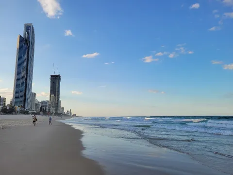
Point Danger — Gold Coast
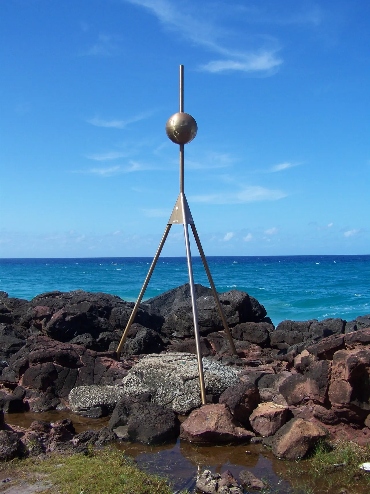
Point Danger · Ché Lydia Xyang / CC BY-SA 3.0 (Wikimedia Commons)

What it is

The point was named by James Cook in 1770. The state border runs across the headland, so visitors can stand with one foot in each state. The Captain Cook Memorial and lighthouse, opened for the bicentenary of his voyage, stands on the top together with a lookout and picnic areas.

From the cliffs there are views north along Greenmount and Coolangatta beaches and south over Duranbah Beach and the Tweed River entrance; during the winter months humpback whales are often seen passing offshore.

Getting there by bus

Routes 700, 760 and 768 run to the Coolangatta and Tweed Heads area; the nearest stops are Twin Towns Services Club and Wharf St at Tweed Heads, around 700–800 metres from the headland on the New South Wales side. From there it is an uphill walk of about ten to fifteen minutes.

Route 700 follows the Gold Coast Highway north to Burleigh Heads, where the G:link light rail continues to Broadbeach and Surfers Paradise.
Frequently asked questions

How do I get to Point Danger by public transport?

The nearest stops are Twin Towns Services Club, Wharf St at Tweed Heads. Open any of them to see the lines that stop there, or use the Journey Planner for a route from your location to Point Danger.

What is the nearest stop to Point Danger?

Twin Towns Services Club (stop code 300052), about 720 m from Point Danger. On the stop page you can see all the lines that stop there and live arrival estimates.

Where is Point Danger located?

Point Danger is in Gold Coast. You can see its exact location and a 3D view at the top of this page.

How do I get to Point Danger from another part of the city?

Open the Journey Planner, enter your origin (an address or a stop) and Point Danger as the destination — you will get the best routes with lines, transfers and departure times based on the timetable.

Other landmarks

Photos: Wikimedia Commons (free/licensed) · 3D view: MapLibre + OpenStreetMap.