buses.appCork public transport
Loading 3D view…

Cork Guide

Elizabeth Fort

Cork

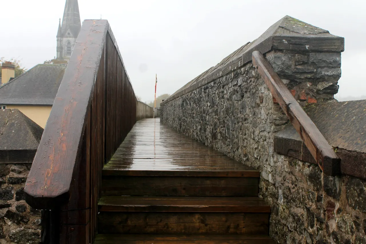
A seventeenth-century star fort on the ridge south of the river, with free access to the ramparts and one of the best views over Cork's rooftops.

How to get there by public transport

Lines stopping nearby

Plan a route to “Elizabeth Fort”

From your location or a typed address — the route is drawn on the 3D map above.

Loading planner…

Elizabeth Fort — Cork
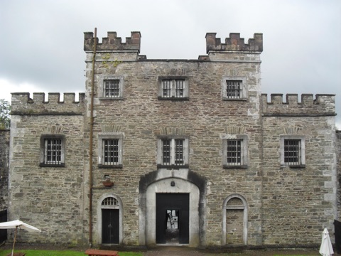
Elizabeth Fort · Vimalkvn / CC BY-SA 4.0 (Wikimedia Commons)

What it is

Built after the Battle of Kinsale to keep the city in check, the fort later served as a barracks, a prison for women awaiting transportation and, until 2013, a Garda station. The walls are open to walk around and panels explain each phase; the courtyard hosts markets and events in summer.

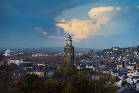
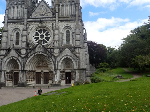
From the ramparts you look straight across to St Fin Barre's spires and north to Shandon.

Getting there by bus

The fort is on Barrack Street, two minutes from St Fin Barre's Cathedral and about ten minutes' walk from the Grand Parade via the South Gate Bridge. Buses along Bishop Street and Barrack Street stop at St Fin Barre's Cathedral, just below the entrance.

Barrack Street itself is one of Cork's oldest pub streets.
Frequently asked questions

How do I get to Elizabeth Fort by public transport?

The nearest stops are St Fin Barre's Cath, French's Quay, Wandesford Quay. Open any of them to see the lines that stop there, or use the Journey Planner for a route from your location to Elizabeth Fort.

What is the nearest stop to Elizabeth Fort?

St Fin Barre's Cath (stop code 284141), about 100 m from Elizabeth Fort. On the stop page you can see all the lines that stop there and live arrival estimates.

Where is Elizabeth Fort located?

Elizabeth Fort is in Cork. You can see its exact location and a 3D view at the top of this page.

How do I get to Elizabeth Fort from another part of the city?

Open the Journey Planner, enter your origin (an address or a stop) and Elizabeth Fort as the destination — you will get the best routes with lines, transfers and departure times based on the timetable.

Other landmarks

Photos: Wikimedia Commons (free/licensed) · 3D view: MapLibre + OpenStreetMap.