buses.appGalway public transport
Loading 3D view…

Galway Guide

Eyre Square

Galway

Galway's central square and meeting point, officially John F. Kennedy Memorial Park, between the railway station and the pedestrian streets of the old town.

How to get there by public transport

Lines stopping nearby

Plan a route to “Eyre Square”

From your location or a typed address — the route is drawn on the 3D map above.

Loading planner…

Eyre Square — Galway
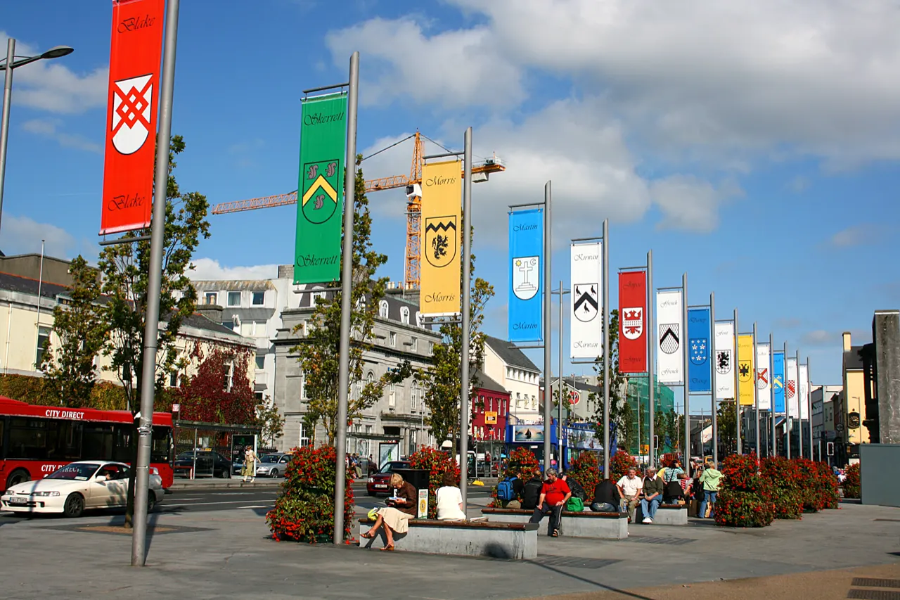
Eyre Square · Eoin Gardiner / CC BY 2.0 (Wikimedia Commons)

What it is

The square is a green with lawns and benches ringed by hotels and shops. Its landmarks are the Browne Doorway, a seventeenth-century merchant's entrance re-erected here, the fourteen flags of the Tribes of Galway, and the rust-coloured Quincentennial Fountain shaped like a Galway hooker sail.

From the south-west corner, Williamsgate Street leads straight down through Shop Street to the Latin Quarter and the river.

Getting there by bus

Eyre Square is Galway's bus hub: city routes stop around the square and on Forster Street, and the bus and railway stations (Ceannt Station) are on its eastern side. Regional coaches to Connemara, the Cliffs of Moher and Dublin leave from the coach station just behind it.

Everything in the city centre is within ten minutes on foot from here.
Frequently asked questions

How do I get to Eyre Square by public transport?

The nearest stops are Eyre Square. Open any of them to see the lines that stop there, or use the Journey Planner for a route from your location to Eyre Square.

What is the nearest stop to Eyre Square?

Eyre Square (stop code 523201), about 30 m from Eyre Square. On the stop page you can see all the lines that stop there and live arrival estimates.

Where is Eyre Square located?

Eyre Square is in Galway. You can see its exact location and a 3D view at the top of this page.

How do I get to Eyre Square from another part of the city?

Open the Journey Planner, enter your origin (an address or a stop) and Eyre Square as the destination — you will get the best routes with lines, transfers and departure times based on the timetable.

Other landmarks

Photos: Wikimedia Commons (free/licensed) · 3D view: MapLibre + OpenStreetMap.