buses.appGalway public transport
Loading 3D view…

Galway Guide

Lynch's Castle

Galway

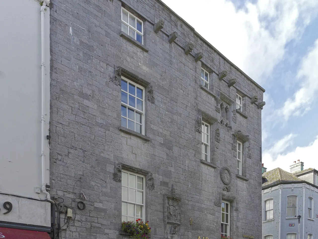
A sixteenth-century fortified town house on Shop Street, the finest surviving medieval building in Galway and today, improbably, a bank.

How to get there by public transport

Lines stopping nearby

Plan a route to “Lynch's Castle”

From your location or a typed address — the route is drawn on the 3D map above.

Loading planner…

Lynch's Castle — Galway
Lynch's Castle · Berthold Werner / CC BY-SA 4.0 (Wikimedia Commons)

What it is

The Lynches were the most powerful of the fourteen merchant Tribes that ruled Galway, and their house shows it: carved gargoyles, the family coat of arms, the arms of Henry VII and decorated window hoods on a grey limestone façade. The ground floor has been a branch of AIB since 1930, and there are a few panels on the building's history inside.

A plaque nearby tells the legend of Mayor Lynch hanging his own son in 1493.

Getting there by bus

The castle is at the corner of Shop Street and Abbeygate Street, three minutes' walk from Eyre Square down Williamsgate Street. City buses stop around Eyre Square and on Merchants Road, a couple of minutes away.

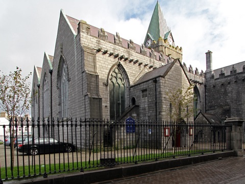
St Nicholas' Church is one block further down towards the river.
Frequently asked questions

How do I get to Lynch's Castle by public transport?

The nearest stops are Merchants Rd, Victoria Place, St Francis Street. Open any of them to see the lines that stop there, or use the Journey Planner for a route from your location to Lynch's Castle.

What is the nearest stop to Lynch's Castle?

Merchants Rd (stop code 13661), about 180 m from Lynch's Castle. On the stop page you can see all the lines that stop there and live arrival estimates.

Where is Lynch's Castle located?

Lynch's Castle is in Galway. You can see its exact location and a 3D view at the top of this page.

How do I get to Lynch's Castle from another part of the city?

Open the Journey Planner, enter your origin (an address or a stop) and Lynch's Castle as the destination — you will get the best routes with lines, transfers and departure times based on the timetable.

Other landmarks

Photos: Wikimedia Commons (free/licensed) · 3D view: MapLibre + OpenStreetMap.