buses.appGalway public transport
Loading 3D view…

Galway Guide

Spanish Arch

Galway

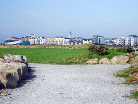
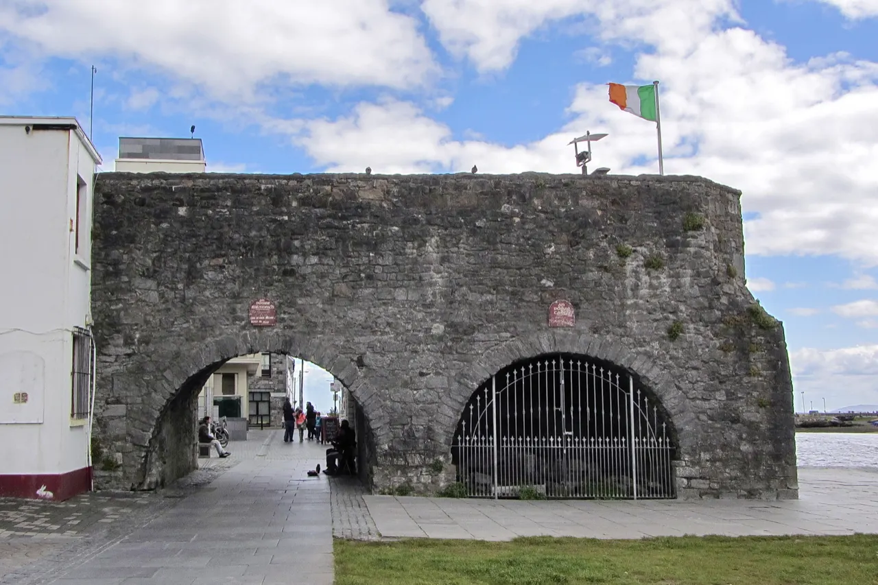
The surviving fragment of Galway's sixteenth-century city walls at the mouth of the Corrib, where the whole town gathers on the grass on a sunny evening.

How to get there by public transport

Lines stopping nearby

Plan a route to “Spanish Arch”

From your location or a typed address — the route is drawn on the 3D map above.

Loading planner…

Spanish Arch — Galway
Spanish Arch · Robert Linsdell from St. Andrews, Canada / CC BY 2.0 (Wikimedia Commons)

What it is

The arches were built in 1584 as an extension of the walls to protect the quays where Spanish ships unloaded wine, and were partly destroyed by the wave from the 1755 Lisbon earthquake. Today the lawn beside them and the quay wall are Galway's outdoor living room, with swans on the river and the Claddagh across the water.

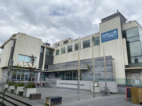
The Galway City Museum stands directly behind the arch.

Getting there by bus

The arch is at the bottom of Quay Street, ten minutes' walk from Eyre Square through the pedestrian streets. Buses along the docks stop at the Spanish Arch stop on the quay side.

Cross the Wolfe Tone Bridge for the Claddagh and the walk along the bay to Salthill.
Frequently asked questions

How do I get to Spanish Arch by public transport?

The nearest stops are Spanish Arch, Merchants Rd, Fr Griffin Rd. Open any of them to see the lines that stop there, or use the Journey Planner for a route from your location to Spanish Arch.

What is the nearest stop to Spanish Arch?

Spanish Arch (stop code 522311), about 60 m from Spanish Arch. On the stop page you can see all the lines that stop there and live arrival estimates.

Where is Spanish Arch located?

Spanish Arch is in Galway. You can see its exact location and a 3D view at the top of this page.

How do I get to Spanish Arch from another part of the city?

Open the Journey Planner, enter your origin (an address or a stop) and Spanish Arch as the destination — you will get the best routes with lines, transfers and departure times based on the timetable.

Other landmarks

Photos: Wikimedia Commons (free/licensed) · 3D view: MapLibre + OpenStreetMap.