
Guide
Melbourne Guide
Melbourne landmarks in true 3D — and how to reach each by public transport (lines, nearest stops, a planner from your location).
- 14Landmarks
- 5Guides & tips
- MelbourneCity
Guides & tips
All guides →Landmarks · 14
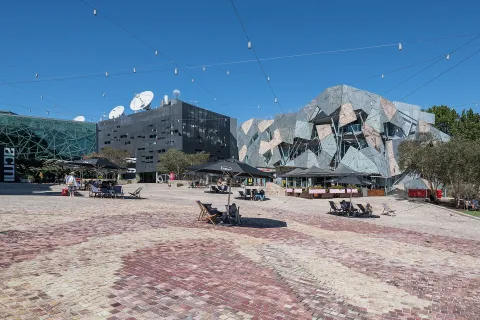 3D SquareFederation SquareMelbourne's main public square, opened in 2002 opposite Flinders Street Station, with angular buildings clad in sandstone, zinc and glass around an open plaza.Open guide
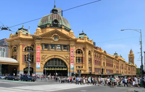 3D LandmarkFlinders Street StationThe yellow-and-red station building with its copper dome and row of clocks is one of the best-known sights of Melbourne and the heart of its suburban rail network.Open guide
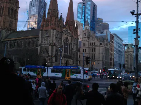 3D Church & monasterySt Paul's CathedralMelbourne's Anglican cathedral, a Gothic Revival church with three tall spires on the corner of Flinders and Swanston Streets, facing Federation Square.Open guide
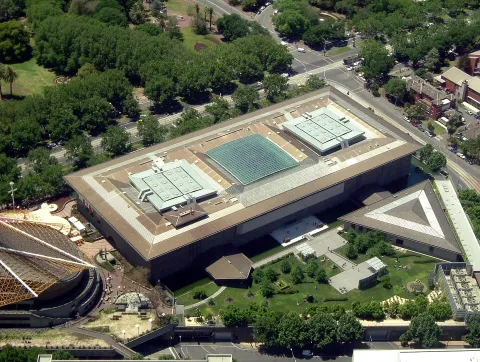 3D MuseumNGV International (National Gallery of Victoria)The St Kilda Road home of the National Gallery of Victoria, Australia's oldest public art museum, with its international collection behind a famous water wall.Open guide
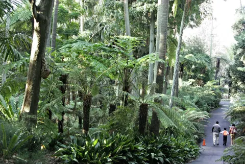 3D ParkRoyal Botanic Gardens MelbourneLandscaped gardens on the south bank of the Yarra with sweeping lawns, lakes and plant collections from around the world, a short walk from the city centre.Open guide
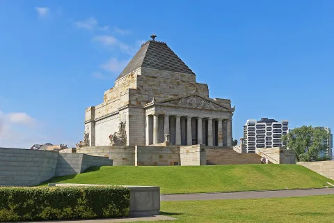 3D HistoryShrine of RemembranceVictoria's main war memorial, a classical stone monument on a rise in Kings Domain at the end of St Kilda Road's long avenue of trees.Open guide
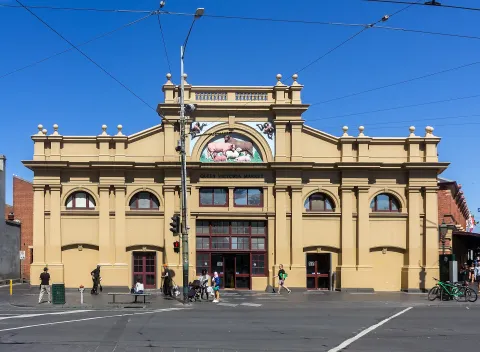 3D MarketQueen Victoria MarketMelbourne's historic open-air market on the northern edge of the city centre, with long sheds of fruit and vegetable stalls, a meat and fish hall and a delicatessen hall.Open guide
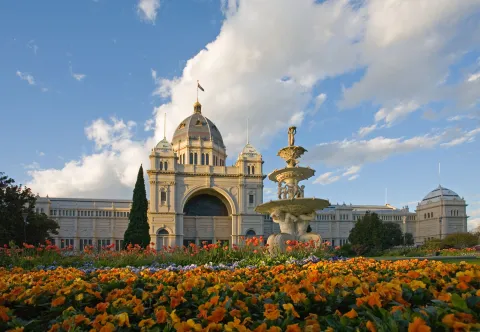 3D HistoryRoyal Exhibition Building and Carlton GardensA grand 19th-century exhibition hall with a soaring dome, set in formal gardens on the edge of the city centre and listed as a UNESCO World Heritage Site.Open guide
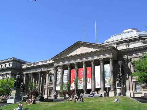 3D LandmarkState Library VictoriaOne of the oldest public libraries in Australia, behind a columned portico and lawn on Swanston Street, famous for its domed octagonal reading room.Open guide
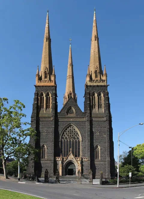 3D Church & monasterySt Patrick's CathedralMelbourne's Catholic cathedral, a large bluestone Gothic Revival church on Eastern Hill behind Parliament House.Open guide
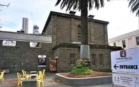 3D HistoryOld Melbourne GaolA forbidding 19th-century bluestone prison on Russell Street, where the bushranger Ned Kelly was hanged in 1880, now a museum.Open guide
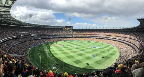 3D LandmarkMelbourne Cricket Ground (MCG)Australia's largest stadium, in Yarra Park just east of the city centre, the home of Australian rules football's Grand Final and of Test cricket in Melbourne.Open guide
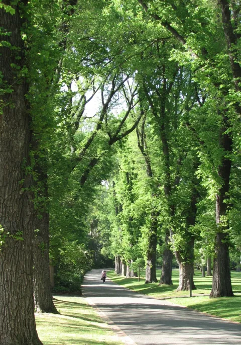 3D ParkFitzroy Gardens and Cooks' CottageVictorian-era gardens on the eastern edge of the city centre with avenues of elms, a conservatory and the cottage of Captain James Cook's parents, brought from England.Open guide
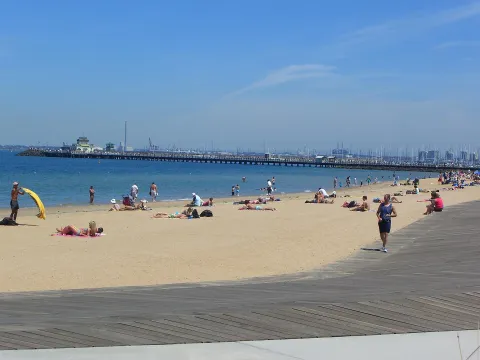 3D BeachSt Kilda Beach and PierMelbourne's best-known beach, a sandy strip on Port Phillip Bay with a long pier, a palm-lined Esplanade and the old Luna Park amusement park.Open guide
Frequently asked questions
How do I reach Melbourne’s landmarks by public transport?
Open any landmark from the guide — its page shows the nearest stops and a planner that finds a route from your location to it, with lines, transfers and departure times based on the timetable.
Which landmarks does the guide cover?
Melbourne’s best-known landmarks — Federation Square, Flinders Street Station, St Paul's Cathedral, NGV International (National Gallery of Victoria), Royal Botanic Gardens Melbourne — each with a 3D view of the location and directions on how to get there by public transport.
What is the 3D view of a landmark?
An interactive 3D model of the location (buildings and surroundings from OpenStreetMap data) that rotates and tilts. It is not a photo but a graphical view of the place, so you can recognise the area before you set off.
How do I plan a tour of several landmarks?
Use the Journey Planner for a public transport route to each landmark; every landmark page also lists the nearest stops with arrival estimates, so you can easily chain several points into one tour.
Photos: Wikimedia Commons (free/licensed) · 3D view: MapLibre + OpenStreetMap.