
Guide
Sydney Guide
Sydney landmarks in true 3D — and how to reach each by public transport (lines, nearest stops, a planner from your location).
- 14Landmarks
- 5Guides & tips
- SydneyCity
Guides & tips
All guides →Landmarks · 14
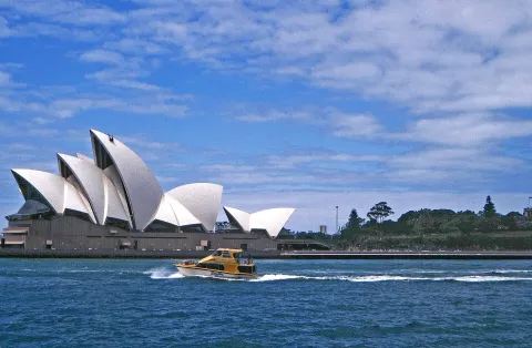 3D LandmarkSydney Opera HouseJørn Utzon's performing arts centre on Bennelong Point, opened in 1973, whose white shell-shaped roofs have become the symbol of Sydney and are on the UNESCO World Heritage List.Open guide
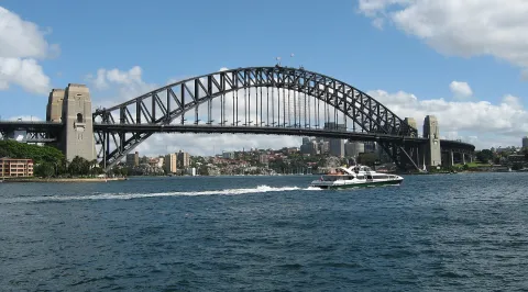 3D LandmarkSydney Harbour BridgeThe steel arch bridge opened in 1932 between The Rocks and Milsons Point, carrying road, rail, a footway and a cycleway across the harbour; locals call it "the Coathanger".Open guide
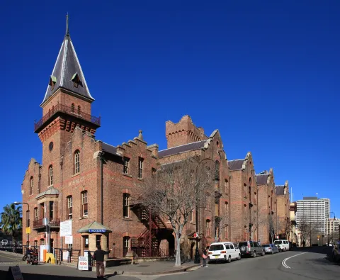 3D HistoryThe RocksSydney's oldest neighbourhood, on the western side of Circular Quay, where sandstone warehouses, terraces and pubs from the colonial era line narrow lanes below the Harbour Bridge.Open guide
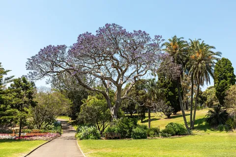 3D ParkRoyal Botanic Garden SydneyAustralia's oldest scientific institution, founded in 1816 on the shores of Farm Cove between the Opera House and the Domain, with themed gardens, glasshouses and harbour views.Open guide
 3D MuseumArt Gallery of New South WalesThe state's leading art museum in the Domain parkland, with a classical sandstone building from the 1890s and a newer pavilion, Naala Badu, opened in 2022.Open guide
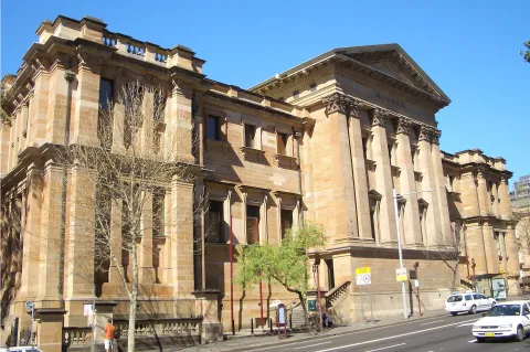 3D MuseumAustralian MuseumAustralia's oldest museum, founded in 1827, on the corner of College and William Streets opposite Hyde Park, devoted to natural history and the cultures of Australia and the Pacific.Open guide
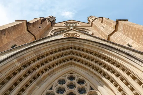 3D Church & monasterySt Mary's CathedralThe Catholic cathedral of Sydney, a Gothic Revival church of local sandstone facing Hyde Park, built from the 1860s and completed with its two southern spires in 2000.Open guide
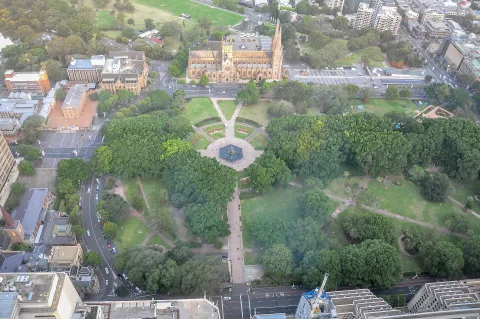 3D ParkHyde ParkThe oldest public park in Australia, laid out in 1810 on the eastern edge of the city centre, with a long avenue of fig trees, the Archibald Fountain and the Anzac Memorial.Open guide
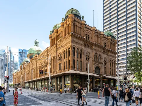 3D HistoryQueen Victoria BuildingA Romanesque Revival market hall from the 1890s that fills a whole city block on George Street, now a shopping arcade under a central glass dome.Open guide
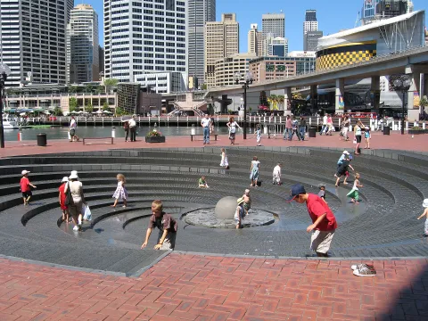 3D LandmarkDarling HarbourA waterfront entertainment precinct on the western edge of the city centre, rebuilt on former docklands for the 1988 bicentenary, with museums, an aquarium, parks and promenades around Cockle Bay.Open guide
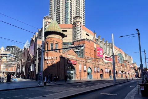 3D MarketPaddy's MarketsSydney's best-known general market, in the brick market hall of 1909 in Haymarket, next to Chinatown, selling fresh produce, clothing and souvenirs on a vast ground floor.Open guide
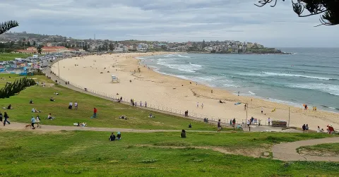 3D BeachBondi BeachAustralia's most famous beach, a kilometre-long curve of sand on the Pacific about seven kilometres east of the city centre, with surf, a seaside promenade and an ocean pool at its southern end.Open guide
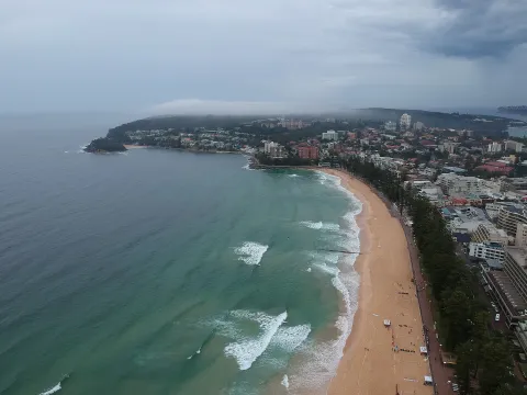 3D BeachManly BeachThe long ocean beach of Manly, on Sydney's northern beaches, lined with Norfolk Island pines and linked to the ferry wharf on the harbour side by the pedestrian street The Corso.Open guide
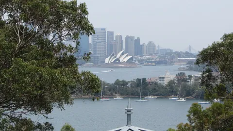 3D NatureTaronga ZooSydney's zoo, opened in 1916 on a hillside in Mosman on the northern shore of the harbour, with Australian and exotic animals and views across the water to the city skyline.Open guide
Frequently asked questions
How do I reach Sydney’s landmarks by public transport?
Open any landmark from the guide — its page shows the nearest stops and a planner that finds a route from your location to it, with lines, transfers and departure times based on the timetable.
Which landmarks does the guide cover?
Sydney’s best-known landmarks — Sydney Opera House, Sydney Harbour Bridge, The Rocks, Royal Botanic Garden Sydney, Art Gallery of New South Wales — each with a 3D view of the location and directions on how to get there by public transport.
What is the 3D view of a landmark?
An interactive 3D model of the location (buildings and surroundings from OpenStreetMap data) that rotates and tilts. It is not a photo but a graphical view of the place, so you can recognise the area before you set off.
How do I plan a tour of several landmarks?
Use the Journey Planner for a public transport route to each landmark; every landmark page also lists the nearest stops with arrival estimates, so you can easily chain several points into one tour.
Photos: Wikimedia Commons (free/licensed) · 3D view: MapLibre + OpenStreetMap.