buses.appSydney public transport
Loading 3D view…

Sydney Guide

The Rocks

Sydney

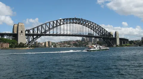
Sydney's oldest neighbourhood, on the western side of Circular Quay, where sandstone warehouses, terraces and pubs from the colonial era line narrow lanes below the Harbour Bridge.

How to get there by public transport

Lines stopping nearby

Plan a route to “The Rocks”

From your location or a typed address — the route is drawn on the 3D map above.

Loading planner…

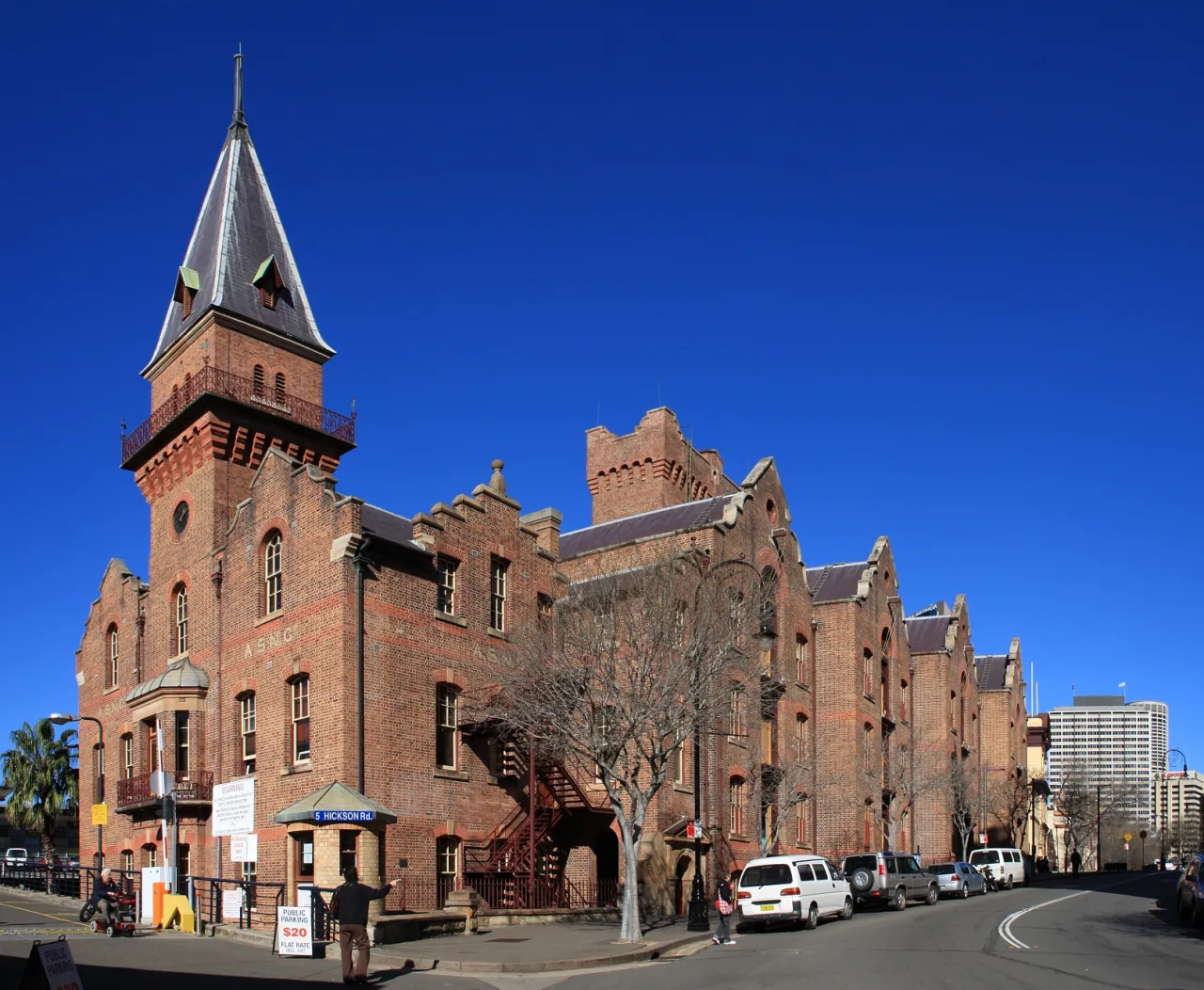
The Rocks — Sydney
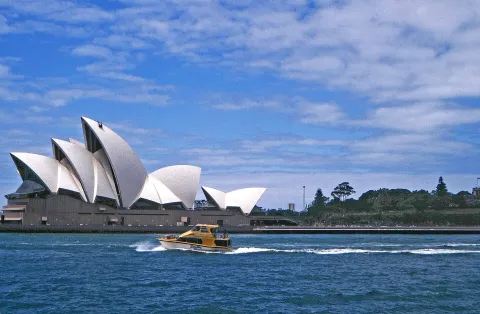
The Rocks · Adam.J.W.C. / CC BY-SA 2.5 (Wikimedia Commons)

What it is

The Rocks grew up around the first European settlement from 1788 and later became a busy port quarter. Saved from demolition in the 1970s, its restored buildings now hold galleries, shops, cafés and some of the city's oldest pubs, and the Museum of Contemporary Art Australia stands on the quay.

The Rocks Discovery Museum and Cadmans Cottage tell the story of the area, and the lanes climb up towards Observatory Hill. Weekend markets fill George Street and Jack Mundey Place.

Getting there by bus

Circular Quay Station, on the City Circle (T2, T3 and T8 lines), and the ferry wharves are at the southern edge of the precinct. Route 311 stops at Argyle Pl at Lower Fort St, and routes 324 and 325 run along Hickson Road, with stops at Walsh Bay Arts Precinct and Roslyn Packer Theatre.

Barangaroo Station on Metro line M1 is about ten minutes' walk to the west.
Frequently asked questions

How do I get to The Rocks by public transport?

The nearest stops are Walsh Bay Arts Precinct, Hickson Rd, Argyle Pl at Lower Fort St, Circular Quay, Wharf 5, Side B. Open any of them to see the lines that stop there, or use the Journey Planner for a route from your location to The Rocks.

What is the nearest stop to The Rocks?

Walsh Bay Arts Precinct, Hickson Rd (stop code 2000130), about 270 m from The Rocks. On the stop page you can see all the lines that stop there and live arrival estimates.

Where is The Rocks located?

The Rocks is in Sydney. You can see its exact location and a 3D view at the top of this page.

How do I get to The Rocks from another part of the city?

Open the Journey Planner, enter your origin (an address or a stop) and The Rocks as the destination — you will get the best routes with lines, transfers and departure times based on the timetable.

Other landmarks

Photos: Wikimedia Commons (free/licensed) · 3D view: MapLibre + OpenStreetMap.