
Guide
Dublin Guide
Dublin landmarks in true 3D — and how to reach each by public transport (lines, nearest stops, a planner from your location).
- 12Landmarks
- 5Guides & tips
- DublinCity
Guides & tips
All guides →Landmarks · 12
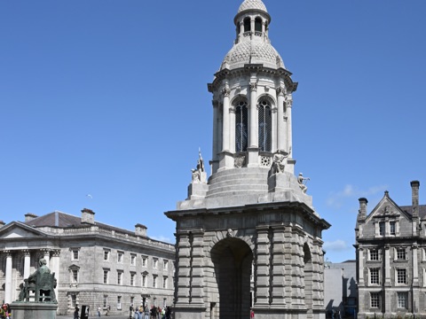 3D HistoryTrinity College & the Book of KellsIreland's oldest university, founded in 1592, whose cobbled squares and the Old Library with the Book of Kells sit right in the centre of Dublin.Open guide
 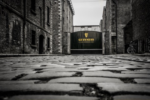 3D MuseumGuinness StorehouseA seven-storey visitor centre inside the St James's Gate brewery telling the story of Ireland's most famous stout, topped by the Gravity Bar with views over the whole city.Open guide
 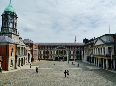 3D HistoryDublin CastleThe seat of British rule in Ireland for seven centuries and now a government complex, with State Apartments, a medieval tower and the Chester Beatty library in its gardens.Open guide
 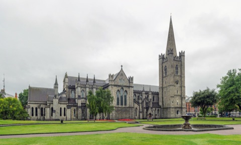 3D Church & monasterySt Patrick's CathedralThe largest church in Ireland, built beside the well where St Patrick is said to have baptised converts, and the burial place of Jonathan Swift.Open guide
 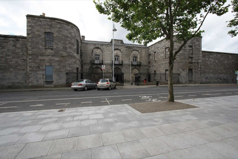 3D MuseumKilmainham GaolThe former prison where the leaders of the 1916 Rising were executed, now a museum that tells the story of Irish nationalism through the cells and yards where it happened.Open guide
 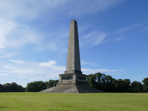 3D ParkPhoenix ParkOne of the largest enclosed city parks in Europe, home to a herd of wild fallow deer, Dublin Zoo, the President's residence and the Wellington obelisk.Open guide
 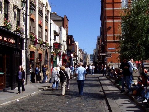 3D LandmarkTemple BarDublin's cobbled riverside quarter of pubs, galleries, weekend markets and street music, between Dame Street and the Liffey.Open guide
 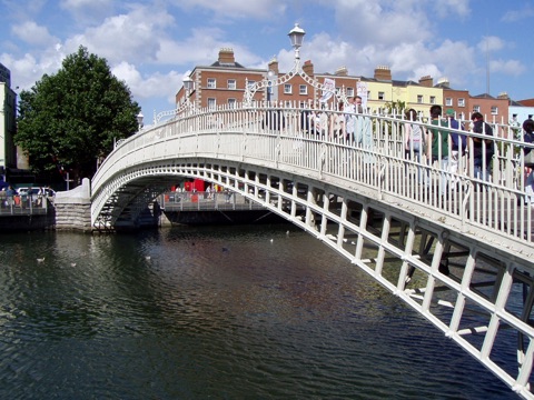 3D LandmarkHa'penny BridgeThe elegant cast-iron footbridge of 1816 over the Liffey, named after the halfpenny toll once charged to cross it, and the most photographed bridge in Dublin.Open guide
 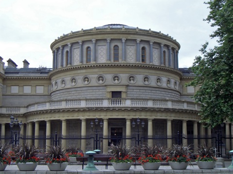 3D MuseumNational Museum of Ireland – ArchaeologyIreland's national collection of prehistoric gold, Celtic metalwork and bog bodies, in a Victorian building on Kildare Street next to the parliament, with free entry.Open guide
 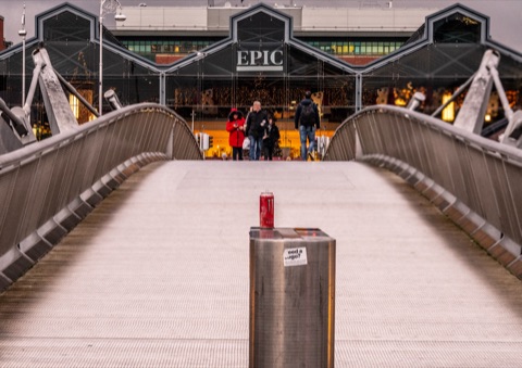 3D MuseumEPIC The Irish Emigration MuseumA fully interactive museum in the vaults of the old CHQ warehouse in the Docklands, following the ten million people who left Ireland and what they did around the world.Open guide
 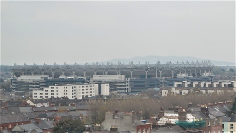 3D LandmarkCroke ParkThe 82,000-seat home of Gaelic games, the third-largest stadium in Europe, with the GAA Museum and a rooftop walk above the north inner city.Open guide
 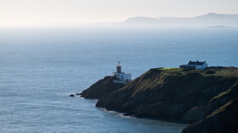 3D NatureHowth Head & Cliff WalkA rocky peninsula at the north end of Dublin Bay with a looped cliff path, the Baily Lighthouse, seals in the harbour and fish restaurants along the pier.Open guide
 Frequently asked questions
How do I reach Dublin’s landmarks by public transport?
Open any landmark from the guide — its page shows the nearest stops and a planner that finds a route from your location to it, with lines, transfers and departure times based on the timetable.
Which landmarks does the guide cover?
Dublin’s best-known landmarks — Trinity College & the Book of Kells, Guinness Storehouse, Dublin Castle, St Patrick's Cathedral, Kilmainham Gaol — each with a 3D view of the location and directions on how to get there by public transport.
What is the 3D view of a landmark?
An interactive 3D model of the location (buildings and surroundings from OpenStreetMap data) that rotates and tilts. It is not a photo but a graphical view of the place, so you can recognise the area before you set off.
How do I plan a tour of several landmarks?
Use the Journey Planner for a public transport route to each landmark; every landmark page also lists the nearest stops with arrival estimates, so you can easily chain several points into one tour.
Photos: Wikimedia Commons (free/licensed) · 3D view: MapLibre + OpenStreetMap.