buses.appDublin public transport
Loading 3D view…

Dublin Guide

Temple Bar

Dublin

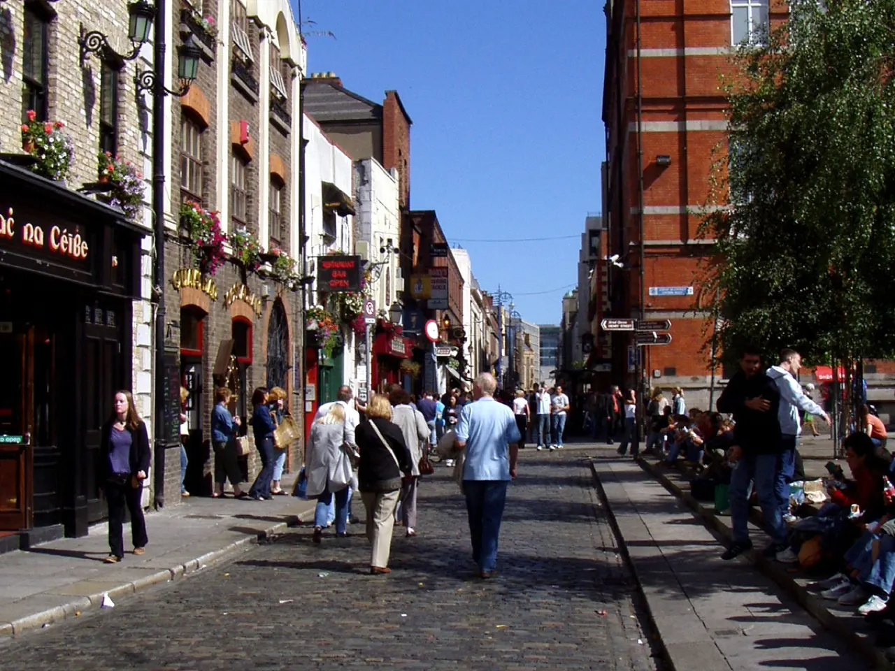
Dublin's cobbled riverside quarter of pubs, galleries, weekend markets and street music, between Dame Street and the Liffey.

How to get there by public transport

Plan a route to “Temple Bar”

From your location or a typed address — the route is drawn on the 3D map above.

Loading planner…

Temple Bar — Dublin
Temple Bar · Thpohl / Public domain (Wikimedia Commons)

What it is

Saved from demolition in the 1980s, Temple Bar became the city's cultural quarter: the Irish Film Institute, the Project Arts Centre, the Gallery of Photography and a food market in Meeting House Square on Saturdays. The narrow streets fill with visitors in the evenings, and the pubs with live music are the reason many come.

Prices in the tourist pubs are the highest in Dublin; locals tend to drink a few streets away.

Getting there by bus

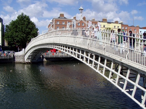
Temple Bar sits between the Ha'penny Bridge and Dame Street, so any bus to College Green, Dame Street or the south quays (Aston Quay, Crampton Quay) drops you at its edge. Jervis and Abbey Street Luas stops on the Red Line are just across the river.

The quarter is pedestrian-friendly and best explored on foot; there are no buses through it.
Frequently asked questions

How do I get to Temple Bar by public transport?

The nearest stops are Crampton Quay, Wellington Quay, Aston Quay. Open any of them to see the lines that stop there, or use the Journey Planner for a route from your location to Temple Bar.

What is the nearest stop to Temple Bar?

Crampton Quay (stop code 330), about 70 m from Temple Bar. On the stop page you can see all the lines that stop there and live arrival estimates.

Where is Temple Bar located?

Temple Bar is in Dublin. You can see its exact location and a 3D view at the top of this page.

How do I get to Temple Bar from another part of the city?

Open the Journey Planner, enter your origin (an address or a stop) and Temple Bar as the destination — you will get the best routes with lines, transfers and departure times based on the timetable.

Other landmarks

Photos: Wikimedia Commons (free/licensed) · 3D view: MapLibre + OpenStreetMap.