buses.appDublin public transport
Loading 3D view…

Dublin Guide

Ha'penny Bridge

Dublin

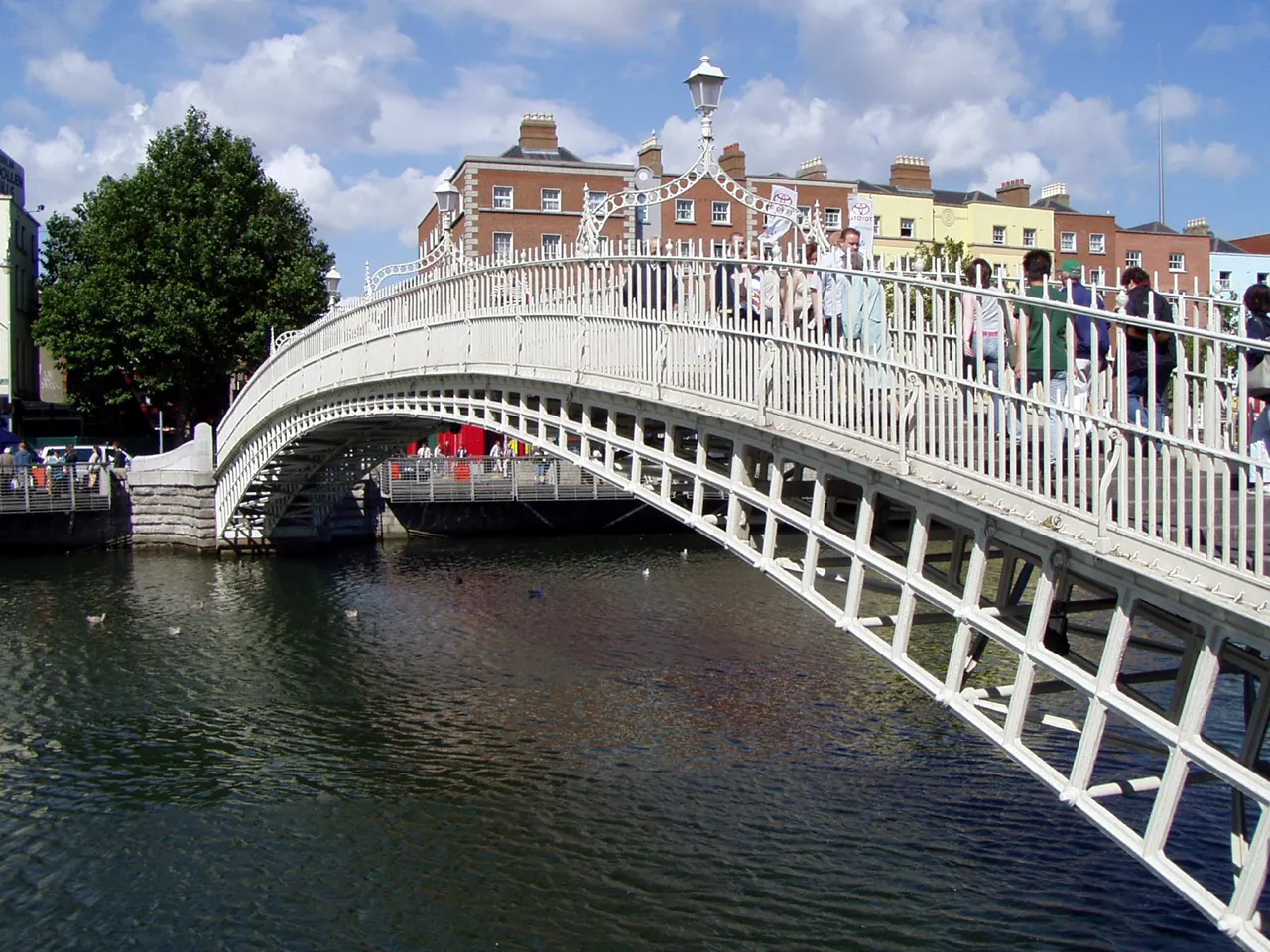
The elegant cast-iron footbridge of 1816 over the Liffey, named after the halfpenny toll once charged to cross it, and the most photographed bridge in Dublin.

How to get there by public transport

Lines stopping nearby

Plan a route to “Ha'penny Bridge”

From your location or a typed address — the route is drawn on the 3D map above.

Loading planner…

Ha'penny Bridge — Dublin
Ha'penny Bridge · Thpohl / Public domain (Wikimedia Commons)

What it is

Officially the Liffey Bridge, it was the first pedestrian bridge across the river and for over a century the only one. Its single white arch, lamps and railings are the classic Dublin postcard, especially lit up at dusk.

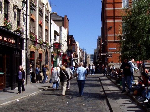
It links Temple Bar on the south bank with the Liffey Street and Henry Street shopping area on the north side; the Millennium Bridge a little upstream is a quieter alternative crossing.

Getting there by bus

Buses along the quays stop within sight of the bridge on both banks (Crampton Quay and Bachelors Walk stops), and the Jervis Luas stop is two minutes away on the north side.

It is also five minutes on foot from O'Connell Bridge, so you will almost certainly walk across it at some point.
Frequently asked questions

How do I get to Ha'penny Bridge by public transport?

The nearest stops are Crampton Quay, Wellington Quay, Bachelors Walk. Open any of them to see the lines that stop there, or use the Journey Planner for a route from your location to Ha'penny Bridge.

What is the nearest stop to Ha'penny Bridge?

Crampton Quay (stop code 330), about 40 m from Ha'penny Bridge. On the stop page you can see all the lines that stop there and live arrival estimates.

Where is Ha'penny Bridge located?

Ha'penny Bridge is in Dublin. You can see its exact location and a 3D view at the top of this page.

How do I get to Ha'penny Bridge from another part of the city?

Open the Journey Planner, enter your origin (an address or a stop) and Ha'penny Bridge as the destination — you will get the best routes with lines, transfers and departure times based on the timetable.

Other landmarks

Photos: Wikimedia Commons (free/licensed) · 3D view: MapLibre + OpenStreetMap.