buses.appBrisbane public transport
Loading 3D view…

Brisbane Guide

South Bank Parklands

Brisbane

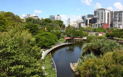
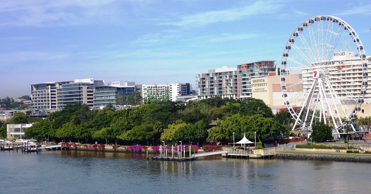
Brisbane's riverside park on the former site of World Expo 88, with a free man-made swimming lagoon, rainforest walks and a long bougainvillea arbour opposite the city centre.

How to get there by public transport

Plan a route to “South Bank Parklands”

From your location or a typed address — the route is drawn on the 3D map above.

Loading planner…

South Bank Parklands — Brisbane
South Bank Parklands · Brisbane City Council / CC BY 2.0 (Wikimedia Commons)

What it is

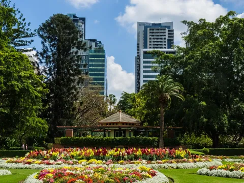
After Expo 88 closed, the exhibition grounds on the south bank of the Brisbane River were turned into public parkland, which opened in 1992. Its best-known feature is Streets Beach, a lifeguarded lagoon with sand and palms in the middle of the city. The Arbour, a curving walkway covered in bougainvillea, runs through the park, and the Nepal Peace Pagoda, built for the Expo, still stands among the trees.

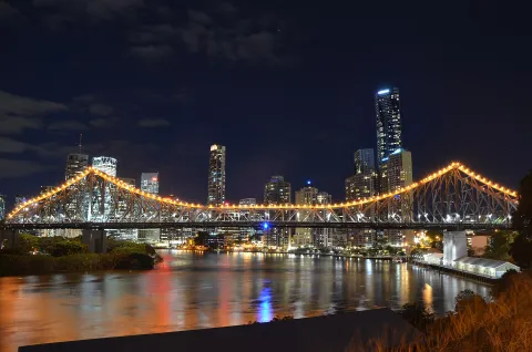
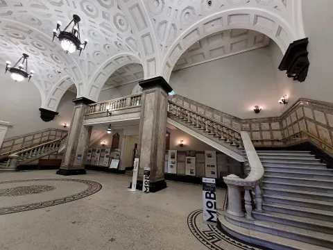
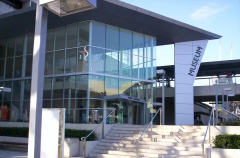
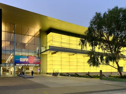
The Wheel of Brisbane, restaurants along Little Stanley Street and the riverside promenade make the area busy from morning to late evening, and the Queensland Cultural Centre with its museums is at the northern end.

Getting there by bus

South Bank busway station, a few minutes' walk from the lagoon, is served by many routes including 100, 120, 130, 140, 150 and 200. Trains stop at South Bank station on the edge of the parklands, one stop from Roma Street and South Brisbane.

On the river, CityCat and ferry route F1 calls at South Bank ferry terminal, and QUT Gardens Point terminal on the opposite bank is reached via the Goodwill Bridge.
Frequently asked questions

How do I get to South Bank Parklands by public transport?

The nearest stops are South Bank busway station, platform 5, South Bank busway station, platform 4, QUT Gardens Point ferry terminal. Open any of them to see the lines that stop there, or use the Journey Planner for a route from your location to South Bank Parklands.

What is the nearest stop to South Bank Parklands?

South Bank busway station, platform 5 (stop code 019052), about 250 m from South Bank Parklands. On the stop page you can see all the lines that stop there and live arrival estimates.

Where is South Bank Parklands located?

South Bank Parklands is in Brisbane. You can see its exact location and a 3D view at the top of this page.

How do I get to South Bank Parklands from another part of the city?

Open the Journey Planner, enter your origin (an address or a stop) and South Bank Parklands as the destination — you will get the best routes with lines, transfers and departure times based on the timetable.

Other landmarks

Photos: Wikimedia Commons (free/licensed) · 3D view: MapLibre + OpenStreetMap.