
Guide
Adelaide Guide
Adelaide landmarks in true 3D — and how to reach each by public transport (lines, nearest stops, a planner from your location).
- 13Landmarks
- 5Guides & tips
- AdelaideCity
Guides & tips
All guides →Landmarks · 13
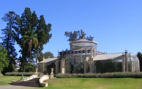 3D ParkAdelaide Botanic GardenA botanic garden on the north-eastern corner of the city centre, opened in 1857, with Victorian glasshouses, an avenue of Moreton Bay figs and a modern conservatory.Open guide
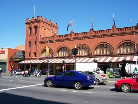 3D MarketAdelaide Central MarketOne of the largest undercover fresh-produce markets in the Southern Hemisphere, trading between Gouger and Grote Streets since 1869.Open guide
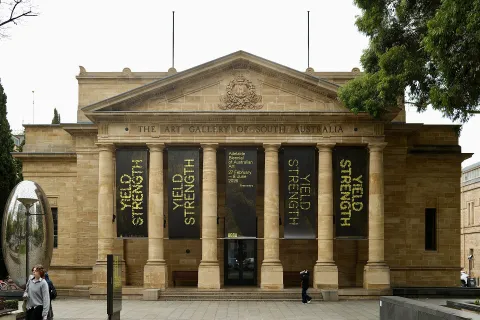 3D MuseumArt Gallery of South AustraliaThe state art museum on North Terrace, founded in 1881, with one of the largest collections of Australian art and an important collection of Aboriginal art.Open guide
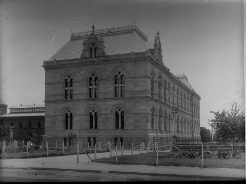 3D MuseumSouth Australian MuseumThe state natural history museum on North Terrace, known for its large collection of Aboriginal cultural material and its displays of fossils, minerals and Australian wildlife.Open guide
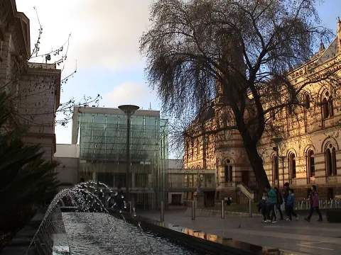 3D LandmarkState Library of South Australia (Mortlock Wing)The state library on the corner of North Terrace and Kintore Avenue, whose 1884 Mortlock Wing, with its galleried reading room, is one of Adelaide's most photographed interiors.Open guide
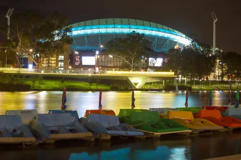 3D LandmarkAdelaide OvalAdelaide's main sports ground in the parklands north of the River Torrens, used for cricket since the 1870s and for Australian football, with a heritage scoreboard and a rooftop climb.Open guide
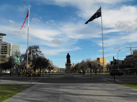 3D SquareVictoria Square (Tarntanyangga)The central square of Adelaide's grid plan, laid out by Colonel William Light in 1837, with fountains, lawns and some of the city's main public buildings around it.Open guide
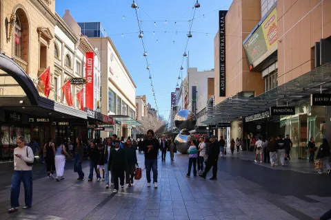 3D SquareRundle MallAdelaide's main shopping street, a pedestrian mall since 1976, with arcades, department stores and well-known public artworks such as the bronze pigs and the Mall's Balls.Open guide
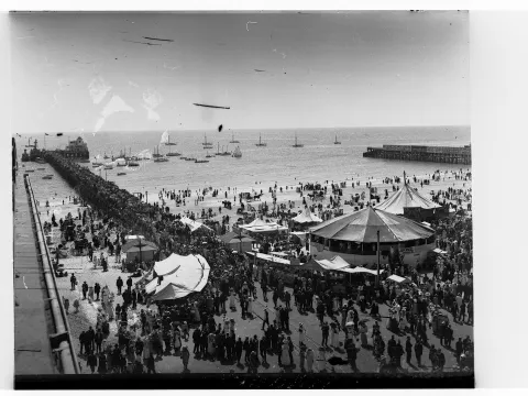 3D BeachGlenelg Beach and Moseley SquareAdelaide's best-known seaside suburb on Holdfast Bay, where the colony of South Australia was proclaimed in 1836, with a long sandy beach, a jetty and the tram terminus on Moseley Square.Open guide
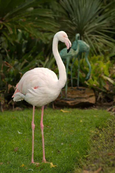 3D ParkAdelaide ZooAustralia's second-oldest zoo, opened in 1883 on Frome Road beside the River Torrens and the Botanic Garden, known for its giant pandas.Open guide
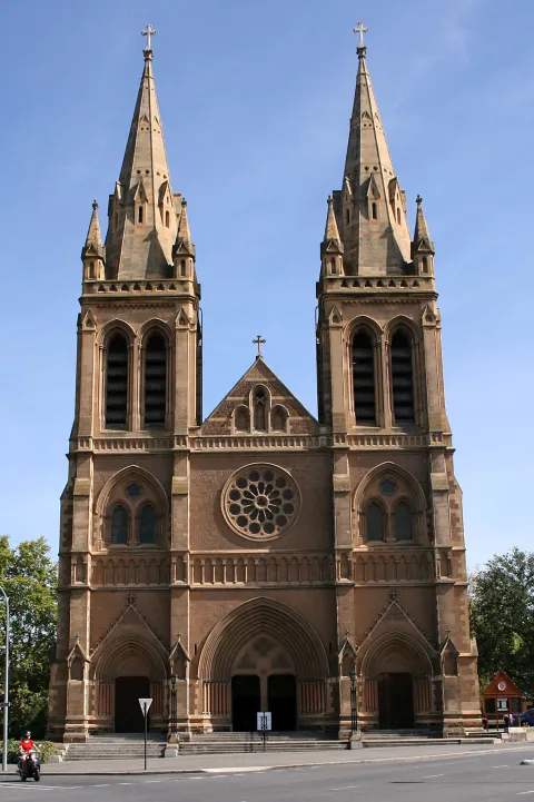 3D Church & monasterySt Peter's CathedralThe Anglican cathedral of Adelaide in North Adelaide, a Gothic Revival church with twin spires that overlooks the Adelaide Oval and the city across the parklands.Open guide
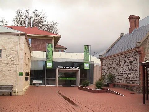 3D MuseumMigration MuseumA museum on Kintore Avenue telling the stories of the people who came to South Australia from around the world, housed in the former Destitute Asylum buildings.Open guide
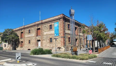 3D MuseumSouth Australian Maritime MuseumAustralia's oldest maritime museum, in the historic heart of Port Adelaide, with ship models, a lighthouse and stories of the state's seafaring past.Open guide
Frequently asked questions
How do I reach Adelaide’s landmarks by public transport?
Open any landmark from the guide — its page shows the nearest stops and a planner that finds a route from your location to it, with lines, transfers and departure times based on the timetable.
Which landmarks does the guide cover?
Adelaide’s best-known landmarks — Adelaide Botanic Garden, Adelaide Central Market, Art Gallery of South Australia, South Australian Museum, State Library of South Australia (Mortlock Wing) — each with a 3D view of the location and directions on how to get there by public transport.
What is the 3D view of a landmark?
An interactive 3D model of the location (buildings and surroundings from OpenStreetMap data) that rotates and tilts. It is not a photo but a graphical view of the place, so you can recognise the area before you set off.
How do I plan a tour of several landmarks?
Use the Journey Planner for a public transport route to each landmark; every landmark page also lists the nearest stops with arrival estimates, so you can easily chain several points into one tour.
Photos: Wikimedia Commons (free/licensed) · 3D view: MapLibre + OpenStreetMap.